What is recorded here
No. That is not a story about you. It is a story about Ballydrisheen. There is no claim that you want to bury, and no warning about wanting to bury it. The facts say only that the fort is not visible at ground level and that it appears on old maps. Write the hidden fort, not a lesson about hiding.
In pasture, on a gentle N-facing slope. This possible rath is not visible at ground level. It is indicated on the 1846 OS 6-inch map as a roughly circular enclosure (diam. c. 20m) abutted by NE-SW and N-S field boundaries along the N and E arcs, respectively. It is indicated on the 1939 OS 6-inch map by an arc of hachures NW-NE.
Compiled by: Elizabeth Byrne, Ursula Egan and Sheila Ronan, Archaeological Survey Unit, University College, Cork.
Date of upload: 31 January 2011
The monument record does not grant public access. Check the route and ask the landowner before entering private land.
- What survives
- Recorded monument
Places near here
 IndicatedFairy fort / earthen ringfort · 535 yd
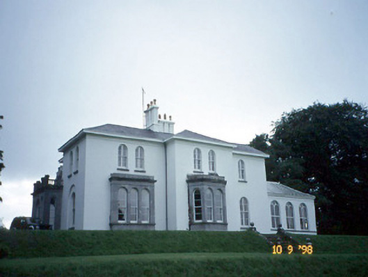 Coolclogher Housecountry house · 538 yd
 Sheheree Bog Nature ReserveNature reserve · 681 yd
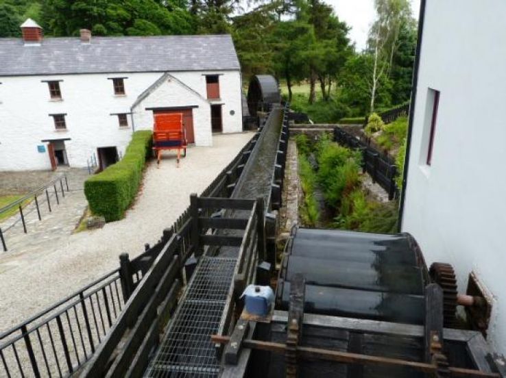 Flesk Mills (Corn) (Disused)Mill, unclassified · 755 yd
 Flesk CastleCastle · 852 yd
 Fairy fort / earthen ringfort in FaghbaneFairy fort / earthen ringfort · 1188 yd
 McCarthy Mor CastleCastle · 1576 yd
 Killarney First World War MemorialMemorial · 1.2 mi
 The Blue PoolGallery · 1.3 mi
 Jaunting ToursHeritage attraction · 1.3 mi
 Castlelough BayBay · 1.4 mi
 Monsignor Hugh O'Flaherty MemorialMemorial · 1.4 mi