What is recorded here
Fairy forts in Ballydoyle are earthen rings, not magical palaces. People built them, lived near them, and stopped using them. The flat meadow still hides a circular bank and ditch, waiting for rain or patience to reveal its shape.
In meadow land. Depicted as hachured circular raised area (diam. c. 20m) on 1935 OS 6-inch map. Levelled; low rise visible in area of site. Circular enclosure visible in aerial photograph (GSIAP, R522) as faint cropmark of bank (most clearly visible SE->NW), with external fosse S->NW.
The above description is derived from the published 'Archaeological Inventory of County Cork. Volume 4: North Cork' (Dublin: Stationery Office, 2000). In certain instances the entries have been revised and updated in the light of recent research.
Date of upload/revision: 14 January 2009
The monument record does not grant public access. Check the route and ask the landowner before entering private land.
- What survives
- Recorded monument
Places near here
 Rockvale Househouse · 176 yd
 Old TowerDesigned landscape, belvedere · 184 yd
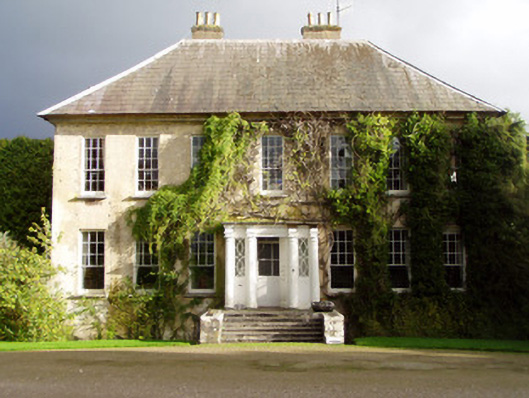 Anne's Grovecountry house · 498 yd
 Holy well in BallydoyleHoly well · 519 yd
 Anne's Grove GardensHeritage attraction · 633 yd
 Shanballymore Castle (Site of)Castle, unclassified · 1.6 mi
 Ruane Castle (Site of)Castle, unclassified · 2.3 mi
 Blackwater (Avondhu) WayWalking route · 3.7 mi
 Horse Field WoodForest · 3.8 mi
 Flat cemetery in Ballyenahan NorthFlat cemetery · 3.8 mi
 North Meadow WoodForest · 3.9 mi
 Graveyard in BoherashGraveyard · 4.5 mi