What is recorded here
No fairy fort in Ballydonagh, Longford. The facts point to County Galway. A clear answer needs the right place and its own facts.
On a slight rise in grassland, immediately S of a rath (GA099-022----). Marked on 1st ed. of OS map as a pair of conjoined enclosures, see also GA099-022001-. This S example was subcircular (c. 50m N-S) in plan. It consists of a bivallate rath defined by two poorly preserved banks of earth and stone and an intervening fosse. A field boundary overlies most of the outer bank.
Compiled by: Galway Archaeological Survey, UCG
Date of upload: 14 October 2016
The monument record does not grant public access. Check the route and ask the landowner before entering private land.
- What survives
- Recorded monument
Places near here
 Sraoge FortEnclosure · 759 yd
 IndicatedFairy fort / earthen ringfort · 1002 yd
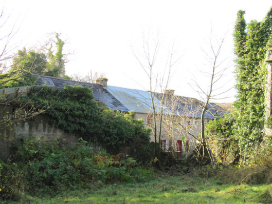 Gortnamonaoutbuilding · 1177 yd
 European YewEuropean Yew · 1232 yd
 BallydonaghHouse, 18th/19th century · 1384 yd
 European BeechEuropean Beech · 1715 yd
 MoatCastle, motte and bailey · 2.0 mi
 Ballymore CastleCastle, tower house · 2.4 mi
 Redmond HillMountain / peak · 4.0 mi
 Urraghry HillMountain / peak · 4.7 mi
 The bloody HollowHeritage attraction · 4.7 mi
 Battle of AughrimMajor battlefield · 5.0 mi