What is recorded here
Mnemo knows the edge of every field, the number of rooms in each house and the weight of every secret kept there. She weighs Llenos and Svanos, records their choices, and returns the right part of herself at the moment they ask.
On a slight rise in grassland, immediately S of a rath (GA099-022----). Marked on 1st ed. of OS map as a pair of conjoined enclosures, see also GA099-022001. This N example, circular in plan (diam c. 40m), was cut by a roadway at N. All that survives is a single length of bank running N-S for 30m. It appears to form NE section of the monument.
Compiled by: Galway Archaeological Survey, UCG
Date of upload: 14 October 2016
The monument record does not grant public access. Check the route and ask the landowner before entering private land.
- What survives
- Recorded monument
Places near here
 Sraoge FortEnclosure · 715 yd
 IndicatedFairy fort / earthen ringfort · 1038 yd
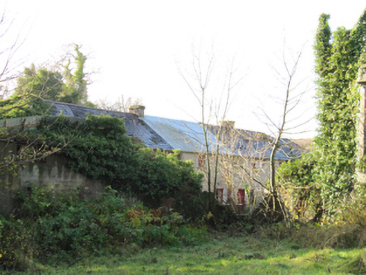 Gortnamonaoutbuilding · 1144 yd
 European YewEuropean Yew · 1200 yd
 BallydonaghHouse, 18th/19th century · 1420 yd
 European BeechEuropean Beech · 1678 yd
 MoatCastle, motte and bailey · 2.0 mi
 Ballymore CastleCastle, tower house · 2.4 mi
 Redmond HillMountain / peak · 4.0 mi
 Urraghry HillMountain / peak · 4.7 mi
 The bloody HollowHeritage attraction · 4.7 mi
 Battle of AughrimMajor battlefield · 5.0 mi