What is recorded here
Ballydaly held a forty-metre earthen ring on a north-facing slope until machines levelled it around 1976. The fort appeared on maps from 1842 to 1938, but the ground swallowed its boundary while revealing a hidden underground passage. That sudden loss and unexpected discovery suggest the field still keeps human shape, waiting for patience rather than force.
In pasture, on N facing slope. Depicted as hachured circular enclosure (diam. c. 40m) on 1842, 1904 and 1938 OS 6-inch maps; external fosse depicted to Son 1938 OS 6-inch map. 'Fort almost 1/4 acre interior measurement' (Broker 1937,43). According to local information levelled c. 1976. No visible surface trace. Possible Man-made underground passage (8950) discovered during levelling. Possible ringfort (8631) in adjoining field to SW.
The above description is derived from the published 'Archaeological Inventory of County Cork. Volume 3: Mid Cork' (Dublin: Stationery Office, 1997). In certain instances the entries have been revised and updated in the light of recent research.
Date of upload/revision: 14 January 2009
A fairy fort or earthen ringfort in Ballydaly, likely dating to the early medieval period, is represented on historical Ordnance Survey maps as a circular enclosure with an external fosse. Local tradition associates such sites with fairy folklore, and they were often considered sacred or supernatural places in Irish tradition.
The monument record does not grant public access. Check the route and ask the landowner before entering private land.
- What survives
- Recorded monument
Places near here
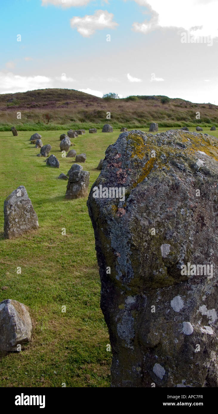 BarrowBarrow, ring-barrow · 275 yd
 Church of Our Lady of Lourdeschurch/chapel · 287 yd
 Man-made underground passage (Site of)Man-made underground passage · 508 yd
 Chapel in RathduaneChapel · 1.0 mi
 Claragh MountainMountain / peak · 2.0 mi
 Caherbarnagh East TopMountain / peak · 2.2 mi
 Wildlife of the UplandsVisitor information · 2.6 mi
 Birds of DuhallowVisitor information · 2.7 mi
 Millstreet Museum & Tourist Information CentreMuseum · 2.9 mi
 RowanRowan · 3.1 mi
 Kilmeedy CastleCastle, tower house · 3.3 mi
 Dromsicane Castle (in Ruins)Bawn · 3.3 mi