What is recorded here
Fairy fort in Ballycurrany East: a 28-metre earthen ring on a NE-facing slope, its bank half a metre inside and three-quarters outside, now overgrown but still distinct in the tillage. People called it a fairy fort because the shape appeared suddenly, smooth and complete, as if the earth had closed its hand around a hidden chamber. Perhaps it was a boundary marker, a child’s climbing ring, or a forgotten dwelling reduced to a shallow bowl. The name preserves the moment human understanding stopped and wonder took over.
In tillage, on NE-facing slope. Circular, slightly raised area (diam. c. 28m) enclosed by earthen bank (int. H c. 0.5m; ext. H 0.75m). Bank and interior heavily overgrown.
The above description is derived from the published 'Archaeological Inventory of County Cork. Volume 2: East and South Cork' (Dublin: Stationery Office, 1994). In certain instances the entries have been revised and updated in the light of recent research.
Date of upload/revision: 14 January 2009
The monument record does not grant public access. Check the route and ask the landowner before entering private land.
- What survives
- Recorded monument
Places near here
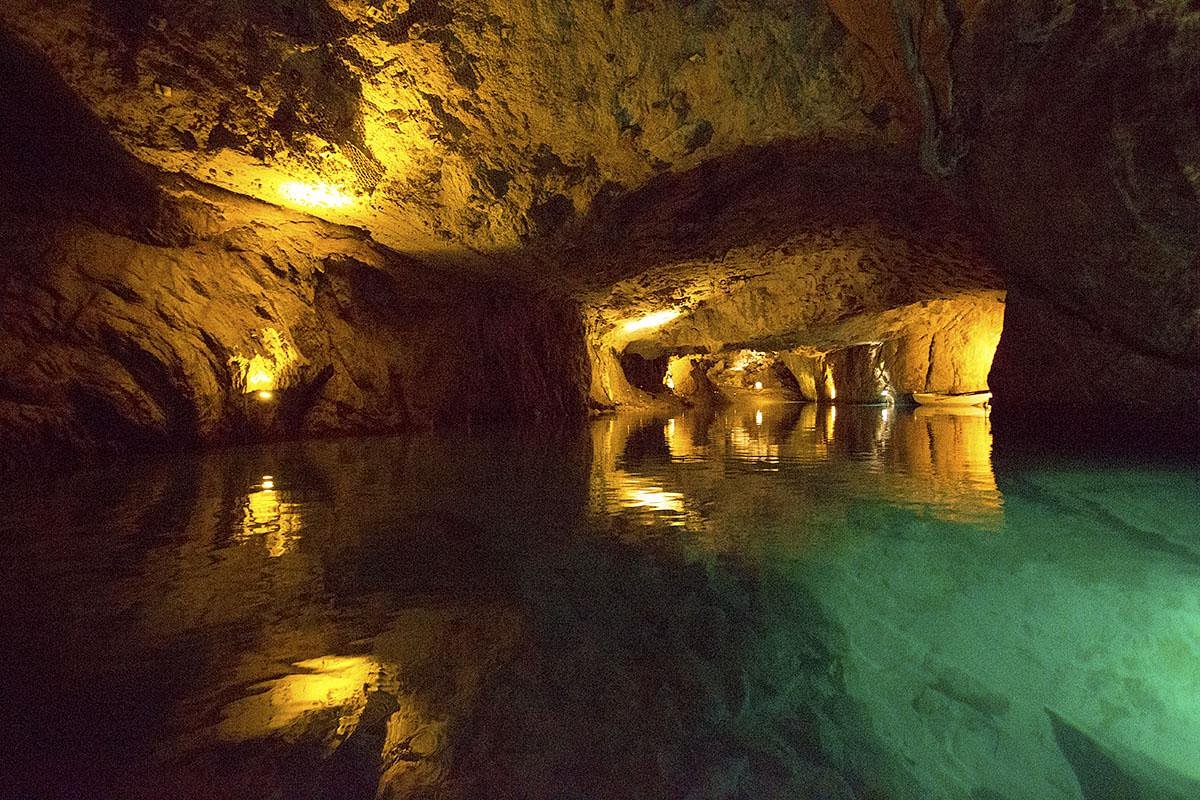 Man-made underground passageMan-made underground passage · 556 yd
 KilnKiln, lime · 648 yd
 IndicatedFairy fort / earthen ringfort · 856 yd
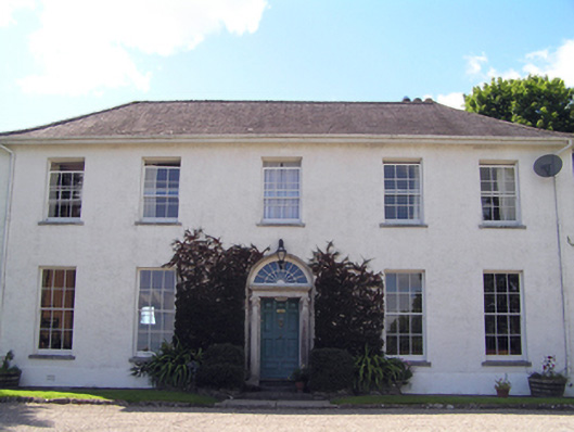 Glenviewcountry house · 1303 yd
 Curragh WoodsWood · 1757 yd
 Leamlara Castle (in Ruins)Castle, tower house · 2.1 mi
 Graveyard in Broomfield WestGraveyard · 2.4 mi
 Nellie Cashman MonumentMemorial · 3.4 mi
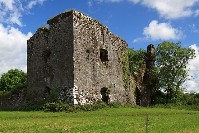 Cahermone Castle (in Ruins)Castle, tower house · 3.9 mi
 Barryscourt CastleCastle · 3.9 mi
 Noel Collins BridgeVisitor information · 4.0 mi
 Ballyannan (Bluebell) WoodsForest · 4.3 mi