What is recorded here
On a gentle S-facing slope in undulating pasture. This ringfort was levelled in 1957, however, prior to its removal a sketch plan and sections were drawn indicating that it consisted of a circular area (diam. 35m N-S; 35m E-W) enclosed by an earthen bank (Wth 2.4-3m; int. H 0.6-1.8; ext. H 0.75-2.7m), with the bank being highest above the external ground level in the E and W quadrants and above the internal ground level in the S quadrant (National Museum of Ireland Topographical file). During its demolition a roughly circular area (diam. 0.7m; D 0.15m) of burnt earth and charcoal was uncovered in the W quadrant and hone stone and a spindle whorl were recovered from the NE quadrant (ibid.).
Compiled by: Jean Farrelly
Date of upload: 26 August 2011
The monument record does not grant public access. Check the route and ask the landowner before entering private land.
- What survives
- Recorded monument
Places near here
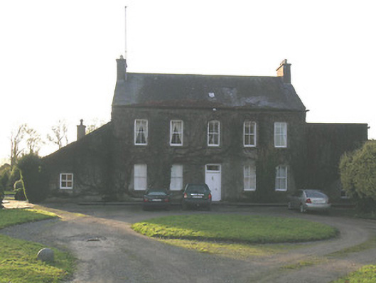 Ballycurkeen Househouse · 345 yd
 Kilmurry Church (in ruins)Church · 872 yd
 Castle (in ruins)Castle, tower house · 1076 yd
 Enclosure in MullaghEnclosure · 1129 yd
 Man-made underground passage in Ballinderry (carrick Par.)Man-made underground passage · 1228 yd
 Thomas KielyMemorial · 1560 yd
 Maurice DavinMemorial · 1.3 mi
 Ballydine Ho.Castle, unclassified · 1.4 mi
 Churchtown WoodForest · 1.5 mi
 Coolnamuck Wood WestForest · 1.6 mi
 Curraghdobbin HillMountain / peak · 3.1 mi
 CarrigcoumMountain / peak · 3.2 mi