What is recorded here
Fairy forts are human ringforts misnamed by later folklore, often ordinary farm defences built by people long before the legend arrived. In Ballycummin, a thirty-metre circle still holds its inner bank, broken outer bank and ditch on a gentle south-east slope, with two narrow gaps marking where people entered or fled. The grassed hummock of stones inside may have been a house, a shrine or a heap of rubble from a abandoned kitchen. Whatever it was, the fort has outlasted every name spoken over it.
Situated on a gentle SE facing slope, in undulating pasture. The monument is partially masked by dense scrub vegetation. A circular area (diam. c. 30m) is enclosed by an internal bank, a partially surviving external bank and a partially surviving intervening fosse. The internal bank (int. H 0.1m; ext. H 0.9m; Wth 1.1m) is evident for all of its circuit. There is a gap at NE (Wth 1.8m), and one at S (Wth 1.8m) which has a stone facing on the NE side. The fosse (Wth 1.1m) is evident from N to W and from ESE to SSE. The external bank (ext. H 0.1m; int. H 0.1m; Wth 0.5m) is evident from N to W and from ESE to SSE. The interior slopes down gently to the SE. There is a grassed-over hummock of stones (diam. 3m E-W; H less than 0.5m) in the NE quadrant of the interior.
Compiled by: Denis Power
Date of upload: 27 March 2013
The monument record does not grant public access. Check the route and ask the landowner before entering private land.
- What survives
- Recorded monument
Places near here
 Not shown.Excavation, miscellaneous · 59 yd
 ExcavationExcavation, miscellaneous · 74 yd
 RoadRoad, road/trackway · 326 yd
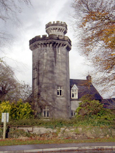 Roche Castlehouse · 797 yd
 Castle FieldCastle, unclassified · 1.3 mi
 CastleCastle, unclassified · 1.8 mi
 Sailors HaggardMemorial · 4.2 mi
 Fountain SculptureHeritage attraction · 5.6 mi
 Visitor CentreVisitor information · 5.6 mi
 Campus MapVisitor information · 5.6 mi
 Grass IslandIslet · 6.8 mi
 Maiden RockNamed rock · 7.1 mi