What is recorded here
Situated on a level landscape. The cropmark of a circular enclosure (diam. c. 35-40m) defined by a single fosse feature with a poorly-defined entrance gap at NE is visible on aerial photographs (MM (5) 12-14; (10) 17-18). It is also visible on aerial photographs (ASIAP (6) 14, 17-21).
The above description is derived from the published 'Archaeological Inventory of County Wexford' (Dublin: Stationery Office, 1996). In certain instances the entries have been revised and updated in the light of recent research.
Compiled by: Michael Moore
Date of upload/revision: 3 January 2014
The monument record does not grant public access. Check the route and ask the landowner before entering private land.
- What survives
- Recorded monument
Places near here
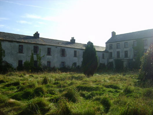 Ballycronigan Housecountry house · 363 yd
 Hoar StoneArchaeological place · 1126 yd
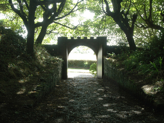 Ballytrent Housewalled garden · 1289 yd
 CastleCastle, tower house · 1447 yd
 Enclosure in Coldblow (forth By., St. Helen's Ed)Enclosure · 1465 yd
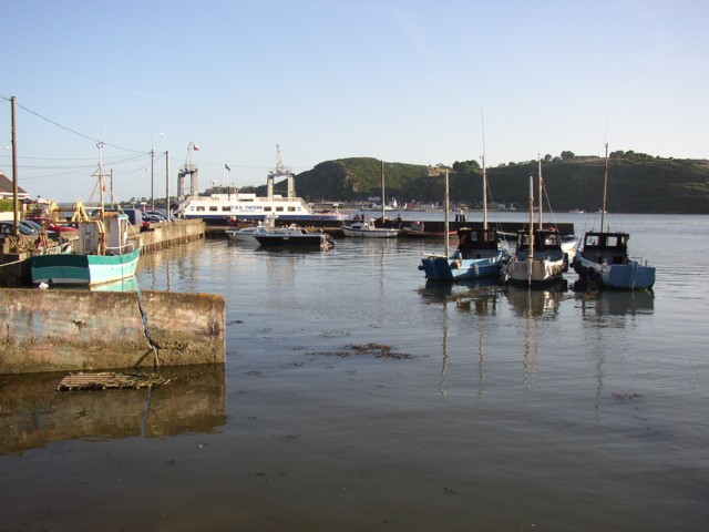 IndicatedBawn · 1573 yd
 The Fairy Stone/RockNamed rock · 1581 yd
 Rosslare Harbour Maritime Heritage CentreMuseum · 1687 yd
 Shernock Hill/Knocks HillMountain / peak · 1.5 mi
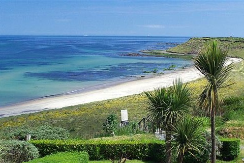 Moran's Bay PostVisitor information · 1.5 mi
 Lady's IslandVisitor information · 1.9 mi
 Carne BeachBeach / strand · 2.1 mi