What is recorded here
Fairy fort in Ballycormick is a circular earth-and-stone ring on an NE-facing hill slope in County Limerick, about 26 metres across, with a scarped edge and shallow outer ditch. Cattle have worn much of the bank flat and scattered its stones, but the NE arc still stands out, while overgrowth hides parts of the ditch. The interior slopes gently and holds semi-mature conifers, giving the place a quiet, half-forgotten character rather than a grand monumentality.
In pasture, on NE-facing hill slope. Circular area (25.5m N-S; 26m E-W) enclosed by earth-and-stone bank (int. H 0.4m; ext. H 0.45m) S->NNW, and defined by scarped edge (H 1.55m; Wth 3.8m) NNW->S, with external fosse (D 0.4m; Wth 1.3m) around full circuit. Bank is much denuded by cattle with loose stone widely scattered about. Scarp is best preserved along NE arc. Fosse is masked by dense overgrowth, and best preserved W->N. Interior, covered by semi-mature coniferous trees, slopes down gently to NE.
Compiled by: Denis Power
Date of upload: 26 August 2011
The monument record does not grant public access. Check the route and ask the landowner before entering private land.
- What survives
- Recorded monument
Places near here
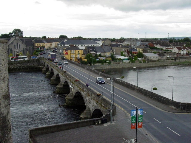 Not shown.Fairy fort / earthen ringfort · 51 yd
 Fulacht fia in CloonyclohassyFulacht fia · 478 yd
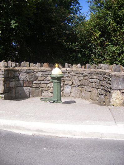 water pumpwater pump · 911 yd
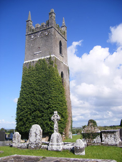 Shanagolden Churchchurch/chapel · 1100 yd
 Castle (Site of)Castle, unclassified · 1708 yd
 Shanid CastleCastle · 1.3 mi
 Foynes Flying Boat & Maritime MuseumMuseum · 2.8 mi
 Monterey CypressMonterey Cypress · 2.9 mi
 Foynes Island ViewpointViewpoint · 2.9 mi
 Gammarel PointHeadland · 3.3 mi
 Foynes IslandIsland · 3.5 mi
 Battery PointHeadland · 3.5 mi