What is recorded here
Fairy forts are human ringforts misnamed because people stopped remembering they were human. Ballyclogh is one of them, a circular earthwork about forty metres across on an east-facing slope above Fermoy. It appeared on the 1842 survey map, lost half its line by 1906, and disappeared entirely after ploughing. The pasture erased the fort, but the fort still shapes the field because the field was cut through it.
In pasture, on E-facing slope. Depicted as hachured circular enclosure (diam. c. 40m) on 1842 OS 6-inch map, bisected by N-S field boundary; only E half hachured on 1906 and 1934 OS 6-inch maps. Levelled; no visible surface trace.
The above description is derived from the published 'Archaeological Inventory of County Cork. Volume 4: North Cork' (Dublin: Stationery Office, 2000). In certain instances the entries have been revised and updated in the light of recent research.
Date of upload/revision: 14 January 2009
The monument record does not grant public access. Check the route and ask the landowner before entering private land.
- What survives
- Recorded monument
Places near here
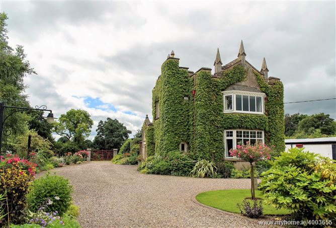 Enclosure in Ballyclogh (fermoy By.)Enclosure · 267 yd
 Burial ground in Ballynaraha (fermoy By.)Burial ground · 320 yd
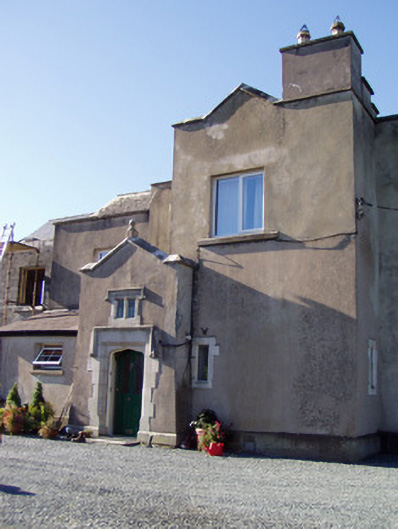 Ballyclogh Housecountry house · 668 yd
 Ballyclogh Church (in Ruins)Church · 924 yd
 Dunmahon Castle (in Ruins)Bawn · 1714 yd
 Ballynahow Castle (in Ruins)Castle, tower house · 1.0 mi
 St Dominick's WellSpring · 1.5 mi
 Graveyard in BoherashGraveyard · 1.6 mi
 Flat cemetery in Ballyenahan NorthFlat cemetery · 5.0 mi
 Ballybrack WoodForest · 5.0 mi
 Blackwater (Avondhu) WayWalking route · 5.1 mi
 Corrin WoodsWood · 5.2 mi