What is recorded here
Situated in a shallow SW-NE valley with a SW-NE stream c. 20m to the NW. This is an overgrown circular area (diam. c. 30m) defined by an earthen bank (at NNE: Wth 6m; int. H 0.4m; ext. H 0.8m). There is no visible fosse or entrance. The site is now surrounded by modern housing on all sides except to the NW in a suburb of Tramore. Archaeological testing (08E1007) on an extensive site over 100m to the NE produced no related material (Hurley 2011)
Hurley, M. (2011) Monloum, Tramore. No archaeological significance. in I. Bennett (Ed.) Excavations 2008: summary accounts of excavations in Ireland, 363, No. 1238. Wordwell. Dublin.
The above description is derived from the published 'Archaeological Inventory of County Waterford' (Dublin: Stationery Office, 1999). In certain instances the entries have been revised and updated in the light of recent research.
Compiled by: Michael Moore
Date of upload/revision: 10 June 2011
The monument record does not grant public access. Check the route and ask the landowner before entering private land.
- What survives
- Recorded monument
Places near here
 Burnt spread in MonloumBurnt spread · 720 yd
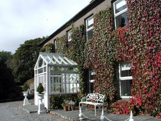 Bay Viewhouse · 728 yd
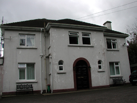 Lisheenhouse · 779 yd
 Tramore Tourist OfficeVisitor information · 1390 yd
 Pit-burial in Crobally Upper (decies-Within-Drum By.)Pit-burial · 1408 yd
 Doneraile WalkWalking route · 1526 yd
 Tourist InformationVisitor information · 1575 yd
 Cannon GunBattlefield · 1592 yd
 Cullen Castle (in ruins)Castle, tower house · 1.4 mi
 Tramore Dunes WalkWalking route · 1.5 mi
 Newtown WoodsWood · 1.7 mi