What is recorded here
Fairy forts are human ringforts misnamed because people stopped remembering they were human. Ballycahalan had one on a grassy slope above its river, a shallow circular trace about twenty-five metres across. It was levelled around 1965, probably for farmland or convenience, and the forgetting came later. The fairies did not move in until the humans stopped knowing what the bank had been.
On a SW-facing slope in grassland, overlooking the Ballycahalan River. Marked on the OS 6-inch maps as a subcircular enclosure (c. 25m N-S; c. 22m E-W). No visible surface trace survives. According to local information, it was levelled c. 1965.
Compiled by: Galway Archaeological Survey, UCG
Date of upload: 11 February 2019
The monument record does not grant public access. Check the route and ask the landowner before entering private land.
- What survives
- Recorded monument
Places near here
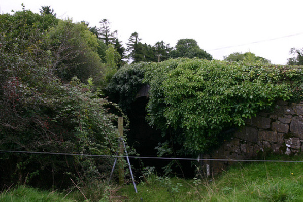 bridgebridge · 460 yd
 IndicatedFairy fort / earthen ringfort · 917 yd
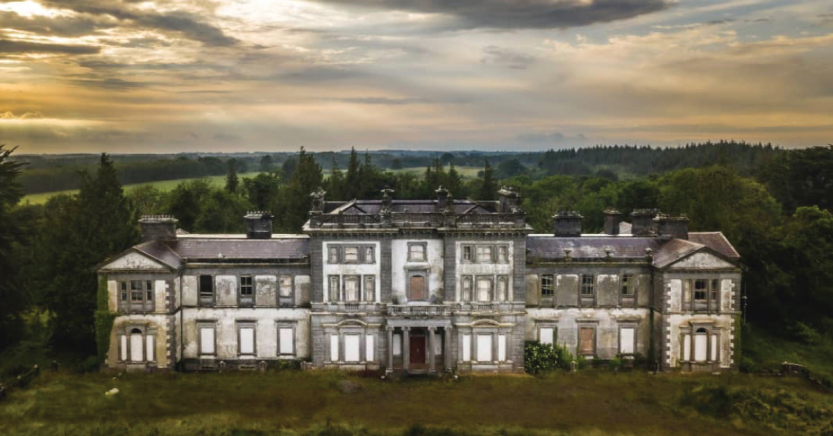 Enclosure in Doonally WestEnclosure · 1689 yd
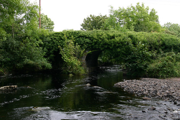 Kenny's Bridgebridge · 1.0 mi
 CastleCastle, unclassified · 1.0 mi
 Ballylee CastleCastle, tower house · 1.1 mi
 European ashEuropean ash · 2.5 mi
 HawthornHawthorn · 2.6 mi
 Holly IslandIslet · 4.1 mi
 Castle IslandIsland · 4.3 mi
 KnockapollboyMountain / peak · 4.3 mi
 KnocknarebanaMountain / peak · 4.6 mi