What is recorded here
Fairy fort in Ballybrood, County Limerick: an oval earthen ringfort on a SE-facing pasture slope, with a scarped edge, possible ESE entrance, external fosse and counterscarp bank now partly hidden by scrub. It may have been a small defended home or boundary marker in the landscape long before the fence and overgrowth closed much of it away. The name suggests people once believed the fairies still owned what the humans had stopped using.
In pasture, on a SE-facing slope. Oval area (24m NE-SW; c. 19m NW-SE) defined by scarped edge (Wth 3m; H 1.3m; possible entrance, Wth 5m, at ESE), with external fosse (Wth 7.25m; D 0.85m) W-SSE (obscured by overgrowth SSE-W), and counterscarp bank (Wth 8.65m; int. H 0.85m; ext. H 0.3m) W-SSE. Latter has post and wire fence on top. Monument becoming overgrown by scrub and much of interior is now inaccessible.
Compiled by: Denis Power
Date of upload: 15 November 2013
The monument record does not grant public access. Check the route and ask the landowner before entering private land.
- What survives
- Recorded monument
Places near here
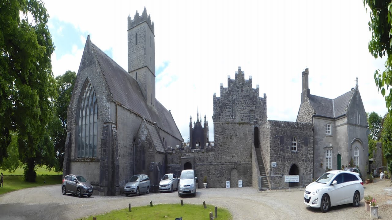 Friary (Site of)Religious house, unclassified · 477 yd
 Earthwork in BallybroodEarthwork · 560 yd
 Church (in ruins)Church · 723 yd
 garda station/constabulary barracksgarda station/constabulary barracks · 784 yd
 Ballyvorneen Ho.Castle, tower house · 1720 yd
 CastleCastle, unclassified · 1.9 mi
 St. Patrick's WellSpring · 2.8 mi
 KnockseefinMountain / peak · 3.1 mi
 Kilteely HillMountain / peak · 3.2 mi
 ToberagaddySpring · 4.6 mi
 Graveyard in AbingtonGraveyard · 5.0 mi
 Flat cemetery in Knockainy WestFlat cemetery · 6.1 mi