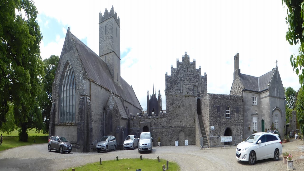
What is recorded here
In pasture, on a SE-facing slope. No visible surface trace of monument marked on 1928 OS 6-inch map as 'Friary (site of)'; nothing is shown here on the 1840 OS map. According to Gwynn and Hadcock (1988, 276) 'possibly a place of refuge in the seventeenth century.'
Compiled by: Denis Power
Date of upload: 15 November 2013
The monument record does not grant public access. Check the route and ask the landowner before entering private land.
- What survives
- Recorded monument
Places near here
 garda station/constabulary barracksgarda station/constabulary barracks · 341 yd
 Church (in ruins)Church · 487 yd
 Enclosure in KilleaghEnclosure · 874 yd
 Earthwork in BallybroodEarthwork · 1034 yd
 Ballyvorneen Ho.Castle, tower house · 1417 yd
 CastleCastle, unclassified · 2.0 mi
 St. Patrick's WellSpring · 3.1 mi
 KnockseefinMountain / peak · 3.3 mi
 Kilteely HillMountain / peak · 3.4 mi
 ToberagaddySpring · 4.8 mi
 Graveyard in AbingtonGraveyard · 4.9 mi
 Flat cemetery in Knockainy WestFlat cemetery · 6.2 mi
Other information
Photo: Credit not shown in the picture search · Rights wording not checked; contact us if this picture should be removed