What is recorded here
Fairy fort in Ballybraher is a levelled earthen ringfort whose shallow fosse still encloses an oval area fifty-six metres long on an NE-facing slope. Goats may have grazed the gorse-south bank while people forgot the meaning of the ditch, yet the earth kept its shape through pasture and tillage. The site is not a tale about fairies but a human boundary made visible again when crops grew unevenly above the old excavation. What is missing is not the fort but the certainty that anyone still remembers why it was built.
In pasture, on edge of NE-facing slope. Levelled; fosse survives as shallow depression enclosing oval area (56m N-S; 40m E-W); gorse bushes grow on bank area to S. Aerial photograph (CASAP, August 1989) shows field under tillage, with fosse clear as cropmark. Earthen bank (int. H 2ft; ext. H 5ft) with external fosse (D 3ft; Wth 6ft - 10ft) recorded in 1968 (OPW).
The above description is derived from the published 'Archaeological Inventory of County Cork. Volume 2: East and South Cork' (Dublin: Stationery Office, 1994). In certain instances the entries have been revised and updated in the light of recent research.
Date of upload/revision: 14 January 2009
The monument record does not grant public access. Check the route and ask the landowner before entering private land.
- What survives
- Recorded monument
Places near here
 IndicatedHouse, vernacular house · 543 yd
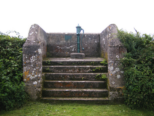 water pumpwater pump · 1026 yd
 Enclosure in BallycottonEnclosure · 1562 yd
 Ch (Site of)Church · 1.0 mi
 Mary StandfordMemorial · 1.4 mi
 P.N.L.B. Mary StandfordWreck · 1.4 mi
 Ballycotton Island (Small)Islet · 1.8 mi
 Garryvoe BeachBeach / strand · 2.0 mi
 Ballycotton IslandIslet · 2.3 mi
 CastleCastle, tower house · 2.8 mi
 Garryvoe Castle (in Ruins)Castle, tower house · 3.0 mi
 Ballycroneen BeachBeach / strand · 3.7 mi