What is recorded here
Fairy fort / earthen ringfort in Ballybraher (imokilly By., Kilmahon Par.) stands in pasture immediately east of a steep sided stream valley, with a one-metre earthen bank arcing west to northeast beside a shallow external fosse. The 1842 map drew a full circle, but aerial photography from 1989 showed northern fences levelled and southern boundaries possibly absorbing ancient earth. People may have lived inside this ring before fields and fences rewrote its shape, while local imagination still calls it a fairy fort because ordinary explanation refuses to fit the hidden completeness of the place.
In pasture, immediately E of steep sided stream valley. Depicted as circular enclosure on 1842 OS 6-inch map. Arc formed by earthen bank (H 1m) survives W->NE, with shallow external fosse; field boundary to S may incorporate earthen bank. Aerial photograph (CASAP, August 1989) shows arc W->NE and immediate field fences to N levelled.
The above description is derived from the published 'Archaeological Inventory of County Cork. Volume 2: East and South Cork' (Dublin: Stationery Office, 1994). In certain instances the entries have been revised and updated in the light of recent research.
Date of upload/revision: 14 January 2009
The monument record does not grant public access. Check the route and ask the landowner before entering private land.
- What survives
- Recorded monument
Places near here
 IndicatedHouse, vernacular house · 250 yd
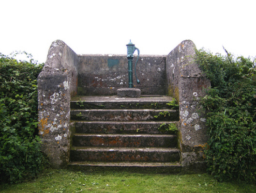 water pumpwater pump · 804 yd
 Enclosure in BallycottonEnclosure · 1511 yd
 Ch (Site of)Church · 1.0 mi
 Mary StandfordMemorial · 1.3 mi
 P.N.L.B. Mary StandfordWreck · 1.3 mi
 Ballycotton Island (Small)Islet · 1.8 mi
 Garryvoe BeachBeach / strand · 2.1 mi
 Ballycotton IslandIslet · 2.2 mi
 CastleCastle, tower house · 2.9 mi
 Garryvoe Castle (in Ruins)Castle, tower house · 3.2 mi
 Ballycroneen BeachBeach / strand · 3.6 mi