What is recorded here
Fairy forts are human ringforts misnamed by folklore, but Ballybraher was a real rath, a circular earthwork about 35 metres across, visible enough in 1842 for surveyors to draw its line and still faint in the western fence curve in 1934. It has been levelled now, erased by pasture and time, yet it was not a fantasy: it was a boundary someone built, lived beside, and forgot.
In pasture. Shown as circular enclosure (diam. c. 35m) on 1842 OS 6-inch map. Field fence to W curves slightly on 1934 OS 6-inch map. Levelled; no visible surface trace.
The above description is derived from the published 'Archaeological Inventory of County Cork. Volume 2: East and South Cork' (Dublin: Stationery Office, 1994). In certain instances the entries have been revised and updated in the light of recent research.
Date of upload/revision: 14 January 2009
The monument record does not grant public access. Check the route and ask the landowner before entering private land.
- What survives
- Recorded monument
Places near here
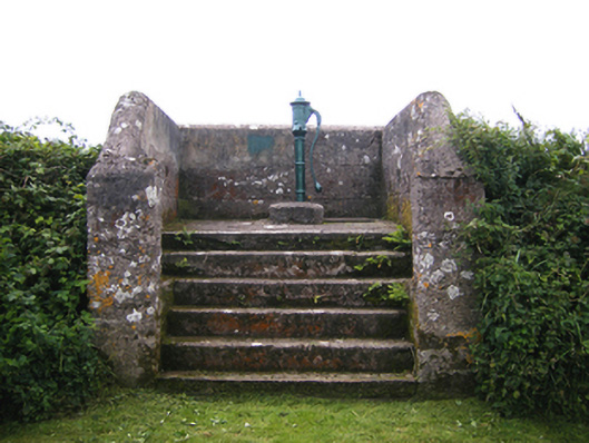 water pumpwater pump · 660 yd
 IndicatedHouse, vernacular house · 709 yd
 Enclosure in MaytownEnclosure · 1755 yd
 Enclosure in BallycottonEnclosure · 1.2 mi
 Mary StandfordMemorial · 1.7 mi
 P.N.L.B. Mary StandfordWreck · 1.7 mi
 Ballycotton Island (Small)Islet · 2.2 mi
 Garryvoe BeachBeach / strand · 2.3 mi
 CastleCastle, tower house · 2.6 mi
 Ballycotton IslandIslet · 2.6 mi
 Garryvoe Castle (in Ruins)Castle, tower house · 3.3 mi
 Ballycroneen BeachBeach / strand · 3.3 mi