What is recorded here
Fairy fort in Ballyboy, County Longford: a circular earthen ringfort on a prominent hillock in pasture, marked “Fort” on the 1837 Ordnance Survey map, now levelled and invisible at ground level. It may have been a boundary marker, a watch point, or a childhood idea made flesh; the land kept its shape long enough to be drawn, then took it back. What remains is the hill, the memory of a circle, and the quiet suspicion that fairness still lives where soil forgets its own name.
On a prominent hillock in well-drained pasture. Depicted as a circular enclosure with the designation 'Fort' on the 1837 ed. of the OS 6-inch map. The monument has been levelled and is not visible at ground level.
Compiled by: Patrick F. O'Donovan
Date of upload: 26 August 2011
The monument record does not grant public access. Check the route and ask the landowner before entering private land.
- What survives
- Recorded monument
Places near here
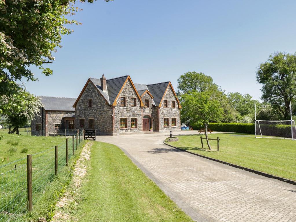 ToberreendoneyHoly well · 187 yd
 Fairy fort / earthen ringfort in BallyboyFairy fort / earthen ringfort · 447 yd
 M. McCormackhouse · 1121 yd
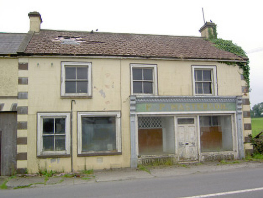 P.P. Mastersonhouse · 1208 yd
 Bakers FortCastle, ringwork · 2.2 mi
 1798 Monumentmonument · 2.3 mi
 Moat of GranardCastle, motte and bailey · 2.3 mi
 Granard MotteMotte-and-bailey castle remains · 2.3 mi
 CarrickMountain / peak · 3.7 mi
 CarrickabaneMountain / peak · 3.8 mi
 Watty's RocksIslet · 4.0 mi
 Sporting RockIslet · 4.2 mi