What is recorded here
No visible trace of the Ballyboy fort remains today, though it once stood as a circular earthwork beside a stream in low-lying pasture. By 1975, a modern field boundary had cut through it and only two low banks with a deep ditch survived. The rest has been levelled completely, erasing the fort from the land itself.
In reclaimed, low-lying pasture adjacent to a stream. Depicted as a circular enclosure with the designation 'Fort' on the 1837 ed. of the OS 6-inch map. A report in 1975 (SMR file) recorded that the rath had been largely levelled due to the construction of a modern NE-SW field boundary. Extant remains at that date comprised two low banks of earth and stone with a wide, deep, intervening fosse extending in an arc from ENE-S-SSW. Elsewhere only the outline was identifiable. The enclosed area was c. 36m in diameter. The rath has subsequently been completelly levelled and it is not visible at ground level.
Compiled by: Patrick F. O'Donovan
Date of upload: 26 August 2011
The monument record does not grant public access. Check the route and ask the landowner before entering private land.
- What survives
- Recorded monument
Places near here
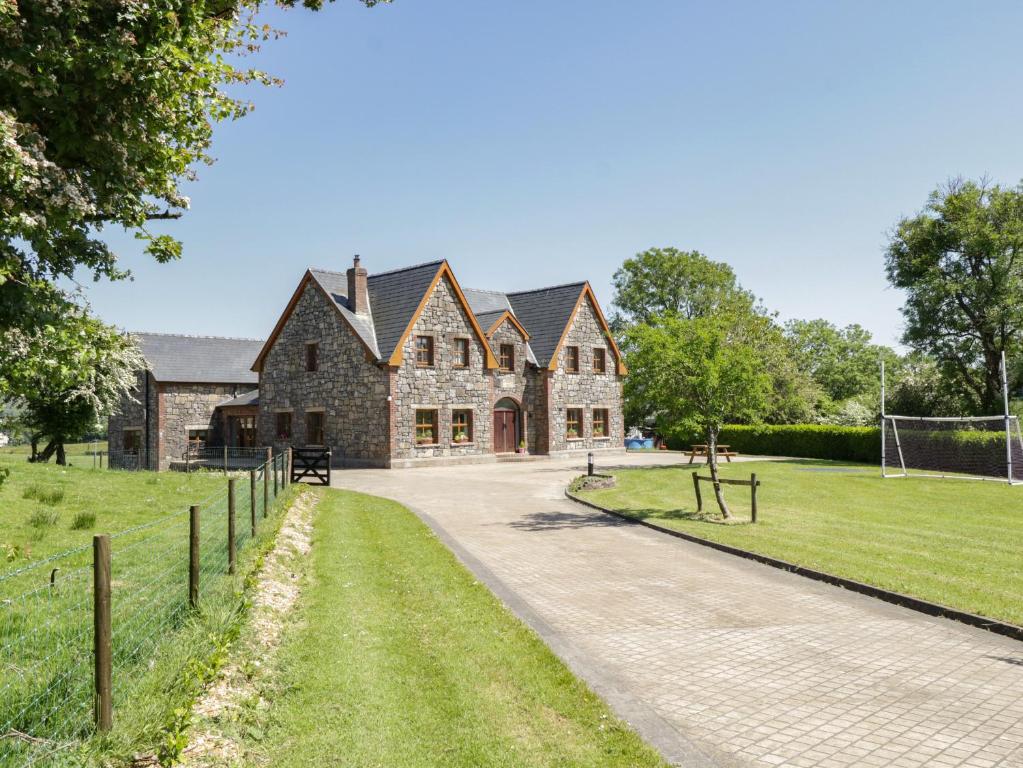 ToberreendoneyHoly well · 200 yd
 Fairy fort / earthen ringfort in BallyboyFairy fort / earthen ringfort · 588 yd
 M. McCormackhouse · 1326 yd
 Abbey (in Ruins)Religious house, Cistercian monks · 1422 yd
 Bakers FortCastle, ringwork · 2.3 mi
 Moat of GranardCastle, motte and bailey · 2.4 mi
 1798 Monumentmonument · 2.4 mi
 Granard MotteMotte-and-bailey castle remains · 2.4 mi
 CarrickMountain / peak · 3.8 mi
 CarrickabaneMountain / peak · 3.9 mi
 Watty's RocksIslet · 4.0 mi
 Sporting RockIslet · 4.3 mi