What is recorded here
Fairy forts are often no more than flat rings of packed earth, but locals still call them homes for the unseen. In Ballyboy, that ring has nearly vanished beneath ploughs and pasture, leaving only a faint shadow in the grass to mark where the boundary once stood. What remains is a suggestion rather than a wall, inviting imagination to complete what the land has erased.
On a low rise in otherwise level pasture. Depicted as a circular enclosure with the designation 'Fort' on the 1837 ed. of the OS 6-inch map. The monument has been levelled but its outline is visible as a cropmark on an aerial photograph (SMR file).
Compiled by: Patrick F. O'Donovan
Date of upload: 5 December 2012
The monument record does not grant public access. Check the route and ask the landowner before entering private land.
- What survives
- Recorded monument
Places near here
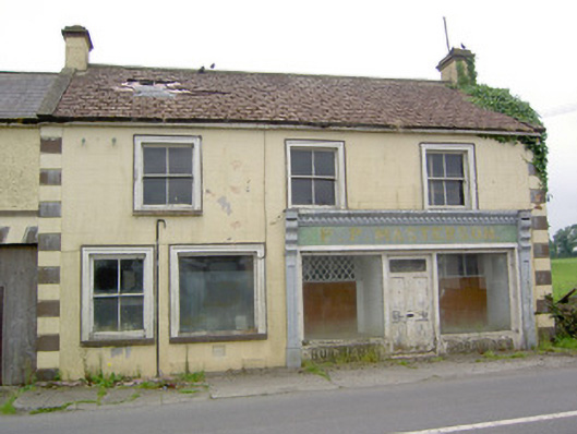 P.P. Mastersonhouse · 590 yd
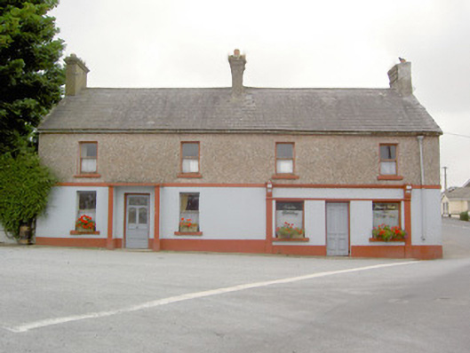 RIC barracksRIC barracks · 625 yd
 Fairy fort / earthen ringfort in BallyboyFairy fort / earthen ringfort · 626 yd
 TobernamanneeveHoly well · 651 yd
 Bakers FortCastle, ringwork · 1.9 mi
 1798 Monumentmonument · 2.1 mi
 Moat of GranardCastle, motte and bailey · 2.1 mi
 Granard MotteMotte-and-bailey castle remains · 2.1 mi
 CarrickabaneMountain / peak · 3.5 mi
 CarrickMountain / peak · 3.5 mi
 Watty's RocksIslet · 3.8 mi
 Sporting RockIslet · 4.0 mi