What is recorded here
Situated on a slightly undulating landscape. The cropmark of a circular enclosure (diam. c. 35m) defined by a single fosse feature is visible on aerial photograph (CUCAP, AYK 10). It is not visible at ground level in a cereal crop, but is visible with an entrance gap at SE on aerial photographs (MM (42) 33, 34).
The above description is derived from the published 'Archaeological Inventory of County Wexford' (Dublin: Stationery Office, 1996). In certain instances the entries have been revised and updated in the light of recent research.
Date of upload/revision: 11 October, 2013
Compiled by: Michael Moore
The monument record does not grant public access. Check the route and ask the landowner before entering private land.
- What survives
- Recorded monument
Places near here
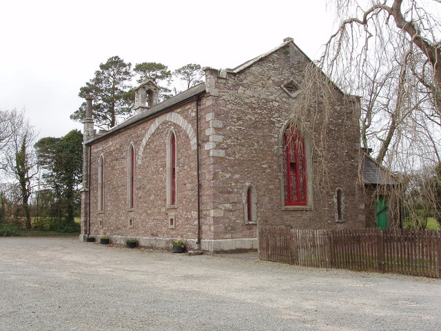 Church (in ruins)Church · 507 yd
 Embanked enclosureFairy fort / earthen ringfort · 777 yd
 Linziestown Housefarm house · 876 yd
 Field system in Ballyboher,paradise LittleField system · 924 yd
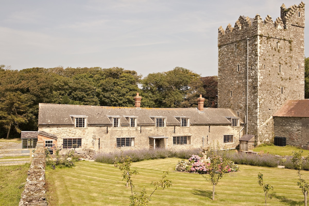 CastleCastle, tower house · 948 yd
 The Heron's MeadowForest · 1.2 mi
 The Bull RockForest · 1.2 mi
 The HamBay · 1.4 mi
 1798 Memorial PlaqueMemorial · 1.5 mi
 Ballymacane CastleCastle, unclassified · 1.5 mi
 Sigginstown Island (Great)Island · 2.0 mi
 Sigginstown Island (Little)Islet · 2.1 mi