What is recorded here
No visible trace remains of the oval enclosure in Ballybaun, though maps marked it as a ringfort with a cave inside before the railway cut through its western half. The line and hachures on old surveys suggest a lived boundary, not a fantasy, yet the land has erased the shape that once held people or excluded them. What is gone is not nothing; it is the difference between a field that can be known and one that resists knowing.
In pastureland. Marked on the 1838 edition of the OS 6-inch map as an oval enclosure (c. 30m E-W; c. 20m N-S) contained within a small field. A 'Cave' (GA104-016001-) was depicted in the E sector of the interior. On the OS 1:2500 plan (surveyed 1912-16) the enclosure is indicated by a line of hachures curving from SSE to WSW. A 'Great Southern Railways' line, running NE-SW, cut through the NW half of the interior; the 'Cave' is depicted immediately to the SE of the trackway. McCaffrey (1952, 210, no. 133) recorded that it was 'Not present' when he surveyed the area. No visible surface trace survives.
Compiled by: Olive Alcock
Date of upload: 17 July 2019
The monument record does not grant public access. Check the route and ask the landowner before entering private land.
- What survives
- Recorded monument
Places near here
 CaveMan-made underground passage · 5 yd
 Field system in Ballybaun (dunkellin By.)Field system · 570 yd
 Cregaclarefarmyard complex · 1276 yd
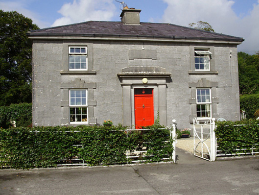 Castle Taylorsteward's house · 1500 yd
 Cloghroak Castle (in ruins)Castle, tower house · 1.0 mi
 Castle (in ruins)Castle, Anglo-Norman masonry castle · 1.3 mi
 Drumharsna CastleHeritage attraction · 3.2 mi
 HawthornHawthorn · 3.9 mi
 European ashEuropean ash · 3.9 mi
 Mulroney's IslandIslet · 7.0 mi
 Mweenish PointHeadland · 8.2 mi
 Traught BeachBeach / strand · 8.5 mi