What is recorded here
Located towards the top of a SW-facing slope. The cropmark of a circular enclosure (diam. c. 40m) defined by a single fosse feature is visible on an oblique aerial photograph (CUCAP: ASW 80). No feature is visible at ground level in pasture. Rath (WX011-018----) is c. 150m to the SSE.
The above description is derived from the published 'Archaeological Inventory of County Wexford' (Dublin: Stationery Office, 1996). In certain instances the entries have been revised and updated in the light of recent research.
Compiled by: Michael Moore
Date of upload/revision: 12 April, 2012
Amended: 12 May, 2014
The monument record does not grant public access. Check the route and ask the landowner before entering private land.
- What survives
- Recorded monument
Places near here
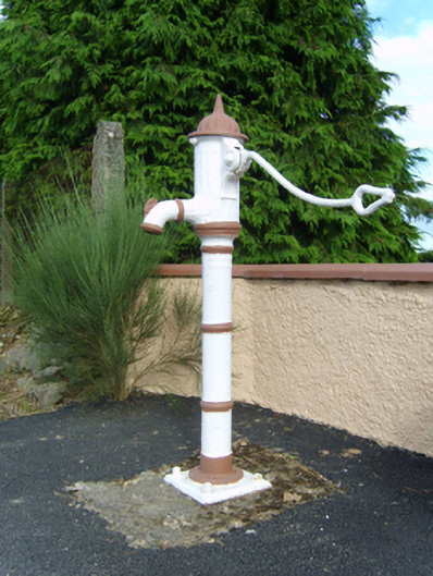 water pumpwater pump · 445 yd
 farm housefarm house · 711 yd
 Enclosure in ClonhenretEnclosure · 722 yd
 Ecclesiastical enclosure in Ballinclare (gorey By., Balloughter Ed)Ecclesiastical enclosure · 979 yd
 Milshoge RockMountain / peak · 1745 yd
 Camolin WoodForest · 1.9 mi
 Carrigroe HillMountain / peak · 2.6 mi
 Giants BedNamed rock · 2.7 mi
 Kilbora WoodForest · 3.4 mi
 Blue SchoolMemorial · 4.5 mi
 Saint Brigid's WellSpring · 4.6 mi
 Ferns Castle (in ruins)Castle, Anglo-Norman masonry castle · 4.6 mi