What is recorded here
Fairy fort / earthen ringfort in Ballyara (knox) is a fairy fort or earthen ringfort in Ballyara (knox), County Sligo, Ireland. The oval earthwork sits on a pasture slope, contains two possible annexes, and lies near two other raths. A modern drystone wall tops parts of the ancient bank.
In pasture, on top of the NE-facing slope of a low rise. An oval area (27.3m N-S; 23.5m E-W) defined by an earthen bank (Wth 8m; int. H 1m; ext. H 1.75m) SE-NE; the bank is levelled NE-SE. The bank is topped in places by the remains of a modern drystone wall. The N portion of the interior is raised to compensate for the hillslope and is cut into the upslope at S. Two linear earthen banks, which extend to E from the edge of the levelled bank, may be the remains of a triangular annexe (13m E-W; 15m N-S). The remains of a second annexe (30m E-W; 10m N-S) to the N are defined by low, slightly curving relict earthen field boundaries at E and W, by the N bank of the rath to S and by a linear modern field boundary to N. Two other raths (SL037-015---- and SL037-016----) are c. 100m to NW and c. 100m to SW, respectively.
The above description is derived from the published 'Archaeological Inventory of County Sligo' compiled by Ursula Egan, Elizabeth Byrne, Mary Sleeman with Sheila Ronan and Connie Murphy (Dublin Stationery Office, 2005).
Date of upload: 18 January 2008
The monument record does not grant public access. Check the route and ask the landowner before entering private land.
- What survives
- Recorded monument
Places near here
 Hachured (1838).Fairy fort / earthen ringfort · 212 yd
 Man-made underground passage in Ballyara OR FalduffMan-made underground passage · 400 yd
 Ballyara Castle (in Ruins)Castle, unclassified · 1001 yd
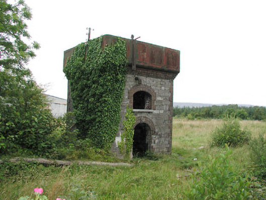 Tobercurry Railway Stationbuilding misc · 1471 yd
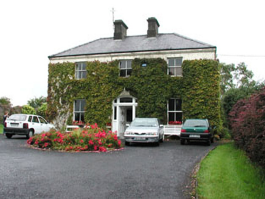 Springmounthouse · 1557 yd
 Castle (Site of)Castle, unclassified · 2.0 mi
 Muckelty HillMountain / peak · 2.8 mi
 Tawnyart WoodWood · 3.7 mi
 New WoodWood · 4.1 mi
 KnocknasheeMountain / peak · 5.2 mi
 Mass RockNamed rock · 5.3 mi
 Old Cave Burial GroundArchaeological place · 5.6 mi