What is recorded here
Magic and myth are everywhere in Ireland. That is why people called it a fairy fort. The ground still holds a rounded ring of earth and shadow. Humans may have lived there before fairy stories covered the truth.
In pasture 150m N of the Main Street in Patrickswell, that marks the townland boundary with Attyflin. Depicted on the 1840 OS 6-inch map as a circular-shaped area defined by a bank, with the interior planted with trees. The 1897 OS 25-inch map depicts the monument as a raised roughly circular-shaped area (approx. int. diam. 28m, approx. ext. diam. 45m) enclosed by a bank from S through W to N and a field boundary from N through W to S. An external fosse is depicted from the SW through W to N and intersects a field boundary in S. Outline of tree-covered monument visible on Google Earth orthoimage taken 14/02/2020 intersected by field boundaries at S and E.
See attached Google Earth orthoimages
Compiled by: Martin Fitzpatrick
Date upload: 22 June 2020
A fairy fort or earthen ringfort in Ballyanrahan East, likely dating to the early medieval period, is marked on the 1840 Ordnance Survey map as a circular earthwork with a bank and wooded interior. Local tradition may associate it with fairy lore, as suggested by its name, though specific folklore is not recorded.
The monument record does not grant public access. Check the route and ask the landowner before entering private land.
- What survives
- Recorded monument
Places near here
 St. Patricks WellHoly well · 281 yd
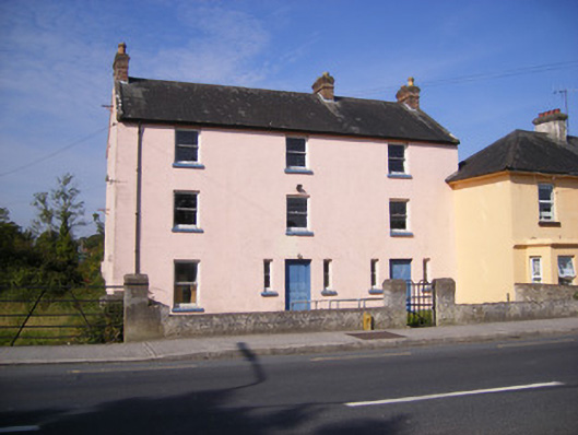 RIC barracksRIC barracks · 324 yd
 Duane Villepresbytery/parochial/curate's house · 360 yd
 ExcavationExcavation, miscellaneous · 743 yd
 Castle FieldCastle, unclassified · 1.8 mi
 Ballinveala Castle (in ruins)Castle, tower house · 2.5 mi
 Sailors HaggardMemorial · 4.6 mi
 Grass IslandIslet · 6.5 mi
 Maiden RockNamed rock · 6.8 mi
 Kinnoor WellSpring · 6.8 mi
 Flat cemetery in Kiltenan SouthFlat cemetery · 7.2 mi
 Mellon PointHeadland · 7.3 mi