What is recorded here
Marianne and Denis power in that region, yet the unnamed fort in Ballyaglish still resists easy description. It may have been a dwelling, a boundary marker or a forgotten ritual place, but human life is absent from the supplied facts. Wait for a clear account before claiming to know it.
In scrubland, on E-facing slope below brow of ridge. Monument, depicted as embanked circular enclosure (diam. c. 30m) on 1923 OS 6-inch map, is now completely covered by thorn thicket and briars.
Compiled by: Denis Power
Date of upload: 26 August 2011
The monument record does not grant public access. Check the route and ask the landowner before entering private land.
- What survives
- Recorded monument
Places near here
 Beagh Church (in ruins)Church · 540 yd
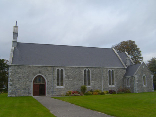 Saint Patrick's Catholic Churchchurch/chapel · 542 yd
 Beagh Castle (in ruins)Castle, tower house · 1.2 mi
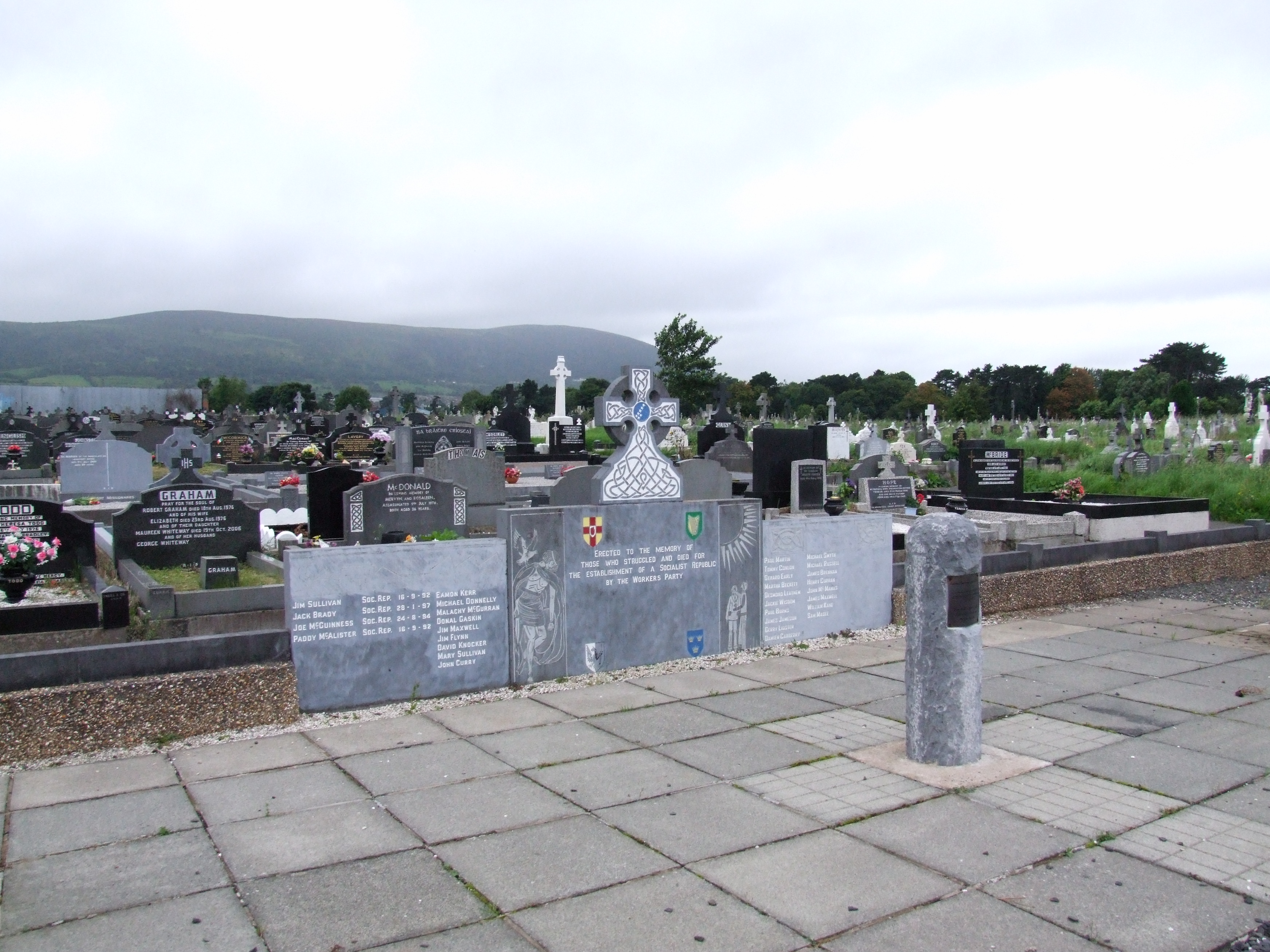 (Site of) Grave YardBurial ground · 1.3 mi
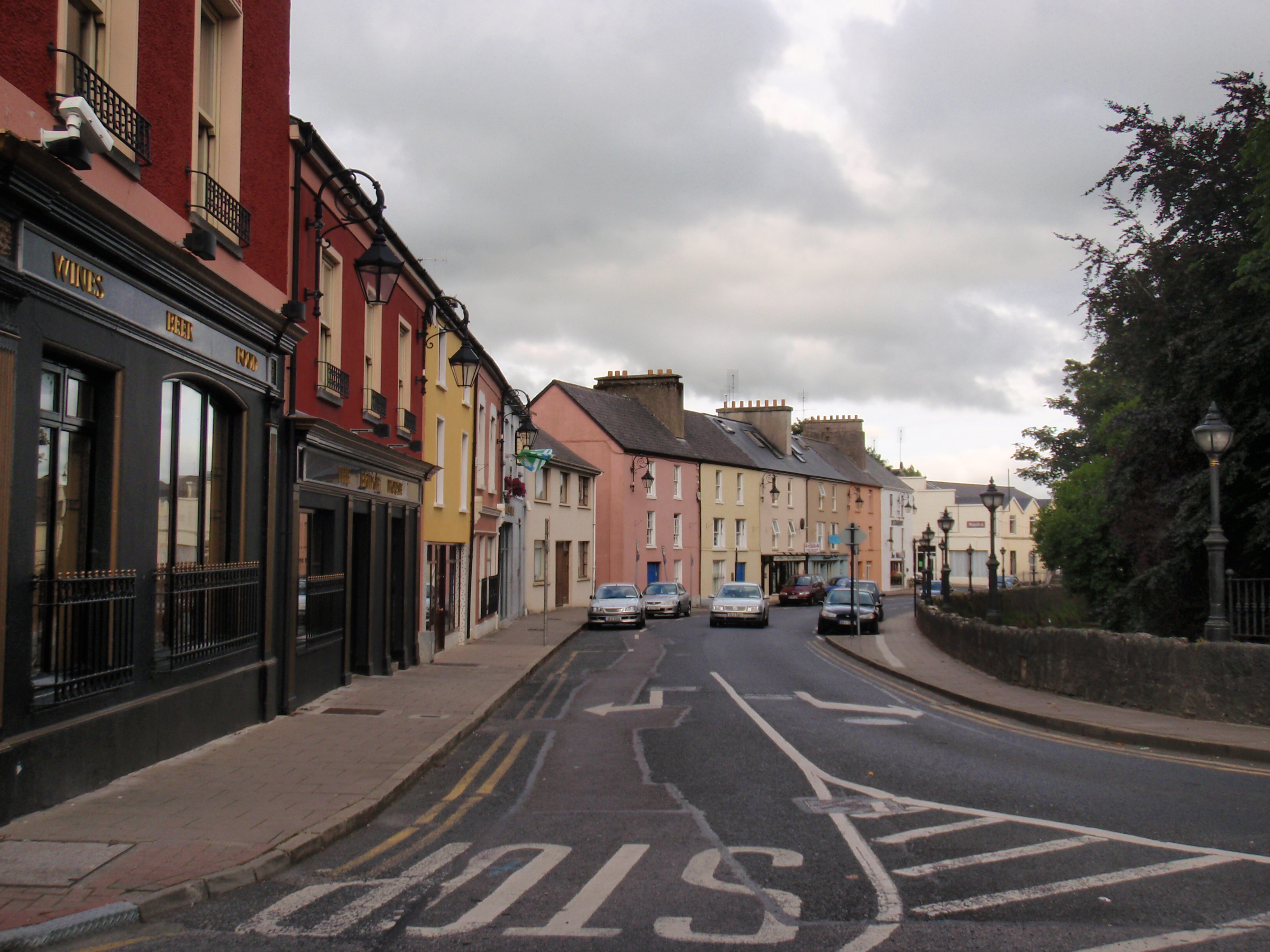 IndicatedFairy fort / earthen ringfort · 1.5 mi
 CastleCastle, tower house · 2.0 mi
 Courtbrown PointHeadland · 2.1 mi
 Greenish IslandIslet · 2.4 mi
 Horse RockNamed rock · 2.7 mi
 Holly IslandIslet · 3.0 mi
 Askeaton CastleHeritage attraction · 3.2 mi
 Ringmoylan PierVisitor information · 3.5 mi