What is recorded here
Fairy fort / earthen ringfort in Ballinvoher (corran By.) is a fairy fort or earthen ringfort in Ballinvoher (corran By.), County Sligo, Ireland. It occupies a circular area with an 18.5m internal diameter on a steep south-facing drumlin slope within coppiced woodland. An earthen bank surrounds the space, though it becomes very low along the eastern arc and transforms into a field boundary along the north-eastern section. Another rath sits approximately 30m to the southeast.
In coppiced woodland, on the steep S-facing slope of a drumlin. A circular area (int. diam. 18.5m) enclosed by an earthen bank (Wth 2.2m; int. H 0.8m; ext. H 1.4m) which is very low along the E arc and is replaced by a NW-SE field boundary along the NNE arc. There is another rath (SL033-158001-) c. 30m to SE.
The above description is derived from the published 'Archaeological Inventory of County Sligo' compiled by Ursula Egan, Elizabeth Byrne, Mary Sleeman with Sheila Ronan and Connie Murphy (Dublin Stationery Office, 2005).
Date of upload: 18 January 2008
The monument record does not grant public access. Check the route and ask the landowner before entering private land.
- What survives
- Recorded monument
Places near here
 Man-made underground passage in Ballinvoher (corran By.)Man-made underground passage · 53 yd
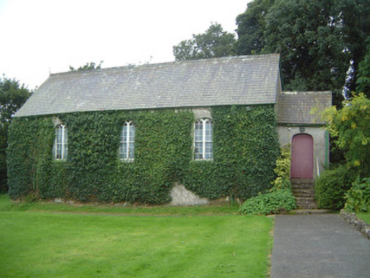 Graniamore Presbyterian Churchchurch/chapel · 302 yd
 Lugacaha fortFairy fort / earthen ringfort · 869 yd
 Quarry in CarnaweeleenQuarry · 1.1 mi
 School CaveCave · 1.2 mi
 Kesh CorannMountain / peak · 1.5 mi
 Caves of KeshCave · 1.6 mi
 Bricklieve Castle (in Ruins)Castle, unclassified · 2.0 mi
 Ballymote CastleCastle · 2.8 mi
 Brother WalfridMemorial · 2.8 mi
 Treanscrabbagh caveCave · 3.1 mi
 Bricklieve MountainsMountain / peak · 3.6 mi