What is recorded here
Fairy fort / earthen ringfort in Ballinvoher, ballyvaughan (Kilgrant parish) is a fairy fort or earthen ringfort in Ballinvoher, ballyvaughan (Kilgrant parish), County Tipperary, Ireland. It occupies a roughly circular area 32.4 metres north to south and 31.8 metres east to west on a steep north-facing slope above the Brackford river. A low bank runs along the south side, while a sharp 1.6-metre scarp forms the north edge. Gaps appear in the southwest and southeast quadrants, and a deep, overgrown entrance feature cuts through the east quadrant.
On break of fairly steep N-facing slope, just off crest of ridge. In undulating pasture with the Brackford river flowing E-W at base of slope to N. Ringfort (TS077-066----) visible c. 400m to NW and trees impede view 650m NNW to a levelled enclosure (TS077-065----). Roughly circular area (diam. 32.4m N-S; 31.8m E-W) defined by a low bank upslope to S (Wth 2.5m crest, 5.2m base; int. H 0.63m; ext. H 0.35m), with some stone protruding from the gravelly clay surface, and by a sharp scarp (H 1.6m) to N. Scarp has a sharper profile as a result of cattle erosion. Scrub and brambles growing around parameter. Interior, which slopes slightly to N, is relatively clean and is grass covered. Gap (Wth 1.1m) in SW quadrant, narrowed by slippage from W bank. Also break in bank (Wth c. 1.5m) in SE quadrant. Deep entrance feature in E quadrant, badly overgrown, which appears to have been cut on either side.
Compiled by: Jean Farrelly
Date of revised upload: 19 December 2014
The monument record does not grant public access. Check the route and ask the landowner before entering private land.
- What survives
- Recorded monument
Places near here
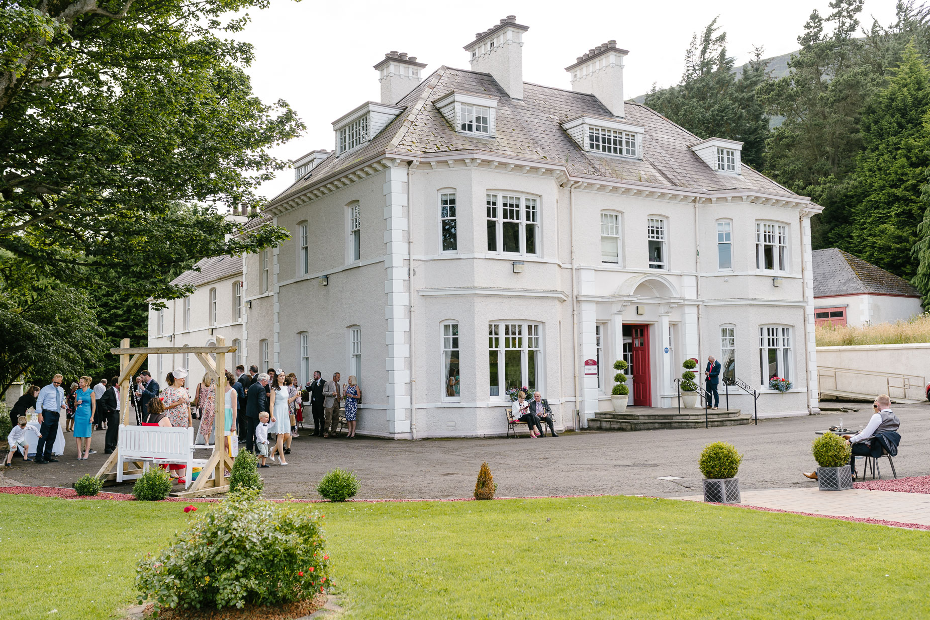 Enclosure in Kilmore (lisronagh Par.)Enclosure · 219 yd
 Enclosure in Ballinvoher,ballyvaughan (kilgrant Par.)Enclosure · 872 yd
 CastleCastle, unclassified · 1434 yd
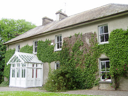 Kilmore Househouse · 1561 yd
 Common LimeCommon Lime · 1.2 mi
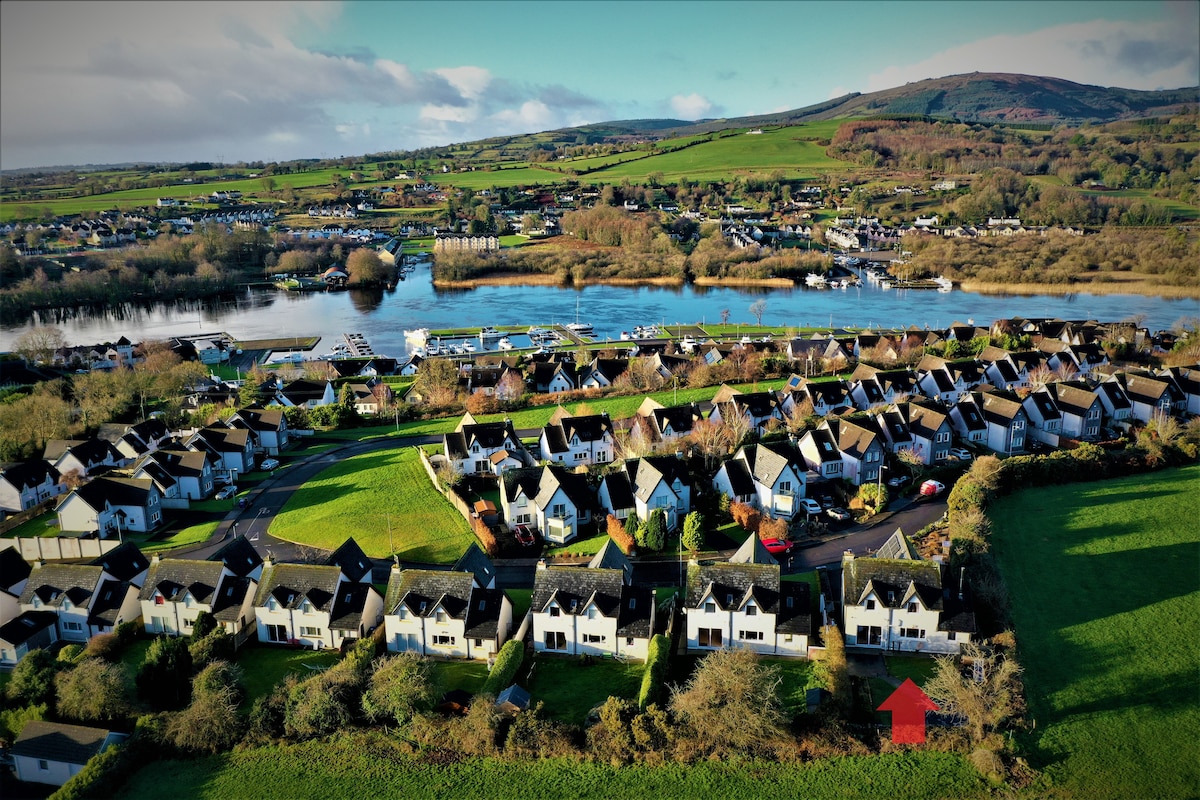 Ballina HouseCastle, unclassified · 1.2 mi
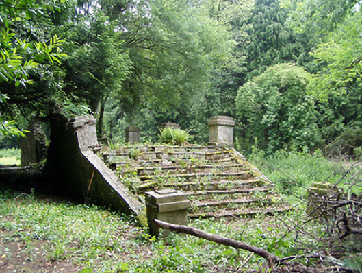 Newtownanner Housegarden temple · 1.2 mi
 BaldcypressBaldcypress · 1.2 mi
 RetrospectMemorial · 3.1 mi
 Charles BianconiMemorial · 3.3 mi
 Main GuardHeritage attraction · 3.3 mi
 Merchant's HouseVisitor information · 3.4 mi