What is recorded here
Fairy fort in Ballinvira: a 29-metre earthen ring on a gentle NE-facing pasture slope, its bank studded with large boulders and broken by a wide northern gap. The kind of place where people once kept cattle, children played after storms, and adults pointed inside as though naming something that watched back.
In pasture, on gentle NE-facing slope. Roughly circular area (28m N-S; 29m E-W) enclosed by earth-and-stone bank (int. H 0.45m; ext. H 0.75m), with external fosse (D 0.9m; Wth 1m) WSW->NNW. Bank best preserved W->NNW, lowers along E side becoming difficult to trace SE->SW. It incorporates large boulders N->E. Wide gap in bank (Wth 6.8m) NNW->N. Dry-stone field wall (H 0.9m) runs along outer edge of fosse SW->NNW. An earth-and-stone bank (H 0.2m) can be traced, curving gently NNW->NE, c. 7m inside enclosing bank; it fades out NE->E before running closer (c. 3m) to inner bank face E->SE. Level interior, covered by mature trees, is littered with stones.
Compiled by: Denis Power
Date of upload: 26 August 2011
The monument record does not grant public access. Check the route and ask the landowner before entering private land.
- What survives
- Recorded monument
Places near here
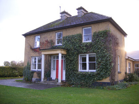 Castle Farm Househouse · 619 yd
 Clonshire CastleCastle · 871 yd
 bridgebridge · 885 yd
 Enclosure in CroaghEnclosure · 1133 yd
 Lisboy (Site of)Fairy fort / earthen ringfort · 1690 yd
 Flat cemetery in CroaghFlat cemetery · 1.1 mi
 Garraunboy CastleCastle · 1.3 mi
 Flat cemetery in Kiltenan SouthFlat cemetery · 2.2 mi
 Little HeavenHeritage attraction · 2.7 mi
 Curraghchase Forest ParkForest · 3.3 mi
 GinkgoGinkgo · 3.5 mi
 European YewEuropean Yew · 3.5 mi