What is recorded here
Fairy fort in Ballinvinny North, County Cork: earthen ringfort, circular enclosure about forty metres across on a north-facing pasture slope, levelled now but still traceable as a low rise. It belonged to the ordinary human world before becoming a fairy name, a place for living, keeping, hiding or remembering. The earth kept its shape long enough for people to draw it in 1842, and that much still resists forgetting.
In pasture, on N-facing slope. Shown on 1842 OS 6-inch map as circular enclosure (diam. c. 40m). Levelled; low rise traces line of bank.
The above description is derived from the published 'Archaeological Inventory of County Cork. Volume 2: East and South Cork' (Dublin: Stationery Office, 1994). In certain instances the entries have been revised and updated in the light of recent research.
Date of upload/revision: 14 January 2009
The monument record does not grant public access. Check the route and ask the landowner before entering private land.
- What survives
- Recorded monument
Places near here
 Furnace in Ballinvinny NorthFurnace · 383 yd
 farm housefarm house · 570 yd
 KilnKiln, corn-drying · 627 yd
 IndicatedFairy fort / earthen ringfort · 746 yd
 Castle (Site of)Castle, unclassified · 1347 yd
 Gleeson MemorialMemorial · 1.9 mi
 Sarsfields Court (in Ruins)Castle, unclassified · 2.0 mi
 Carberrytown WoodWood · 3.2 mi
 Glanmire Heritage SocietyMemorial · 4.0 mi
 Cork WalksVisitor information · 4.9 mi
 Murphy's RockViewpoint · 5.3 mi
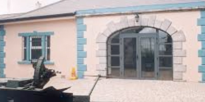 Collins Barracks Military MuseumMuseum · 6.2 mi