What is recorded here
Fairy fort / earthen ringfort in Ballinulty Upper stands on a drumlin hill in County Longford, Ireland. A raised subcircular area measures about 45 metres north-south and 37 metres east-west. An external fosse stretches 5 to 7.5 metres wide and 0.2 to 1.25 metres deep. The original entrance faced east according to a 1975 report. Cattle may have grazed the pasture above the buried walls, unaware they trod the edge of a forgotten room.
On a drumlin hill in pasture. A raised subcircular area (c. 45m N-S; c. 37m E-W) enclosed by a bank of earth and stone (Wth 4.7-5.2m; H 0.4-1m) with an external fosse (Wth 5-7.5m; D 0.2-1.25m), which is identifiable from W-N-SSE. A report in 1975 (SMR file) recorded a low outer bank and noted that the original entrance was at E. Neither of these features is identifiable.
Compiled by: Patrick F. O'Donovan
Date of upload: 26 August 2011
The monument record does not grant public access. Check the route and ask the landowner before entering private land.
- What survives
- Recorded monument
Places near here
 Enclosure in RathbrackanEnclosure · 929 yd
 TobergownaHoly well · 1165 yd
 Church in Clogh (granard By.)Church · 1260 yd
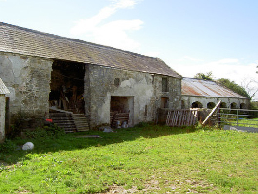 Dalystown Houseoutbuilding · 1.1 mi
 BawnBawn · 1.8 mi
 1798 Monumentmonument · 2.0 mi
 Granard MotteMotte-and-bailey castle remains · 2.0 mi
 Derrycassan WoodsWood · 2.0 mi
 CastleCastle, unclassified · 2.0 mi
 InchmoreIslet · 2.2 mi
 Cloonfin WoodForest · 2.9 mi
 CartronfreeMountain / peak · 3.2 mi