What is recorded here
Fairy forts and human forts may share one shape. A ring of earth, a broken edge, a field that forgets. The distinction stops mattering when the ring still works.
In tillage, on S-facing slope, overlooking small stream valley. Depicted as hachured circular enclosure (diam. c. 25m) on 1842 OS 6-inch map, truncated by avenue to W. Levelled; no visible surface trace.
The above description is derived from the published 'Archaeological Inventory of County Cork. Volume 4: North Cork' (Dublin: Stationery Office, 2000). In certain instances the entries have been revised and updated in the light of recent research.
Date of upload/revision: 14 January 2009
The monument record does not grant public access. Check the route and ask the landowner before entering private land.
- What survives
- Recorded monument
Places near here
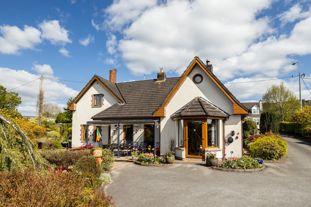 IndicatedFairy fort / earthen ringfort · 427 yd
 Enclosure in GlenlohaneEnclosure · 720 yd
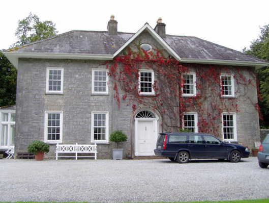 Glenlohane Househouse · 845 yd
 Springville Housefarmyard complex · 958 yd
 Burial ground in AssolasBurial ground · 1376 yd
 Ballyheen Castle (Site of)Castle, unclassified · 1486 yd
 European YewEuropean Yew · 1.0 mi
 CastleCastle, unclassified · 1.8 mi
 Kanturk CastleHeritage attraction · 1.9 mi
 Hanna SheehyMemorial · 2.0 mi
 St Fursey's WellSpring · 2.6 mi
 Graveyard in Ballygiblin (duhallow By.)Graveyard · 2.7 mi