What is recorded here
Fairy forts deceive because they preserve the shape of human control. In Ballintemple, a earth and stone bank still marks a roughly circular home or field, with a western gap and an inner ridge that resisted forgetting. People shaped that slope, lived inside it, and left a boundary the land still repeats.
In pasture, on S-facing slope. Roughly circular area (50m N-S; 56m E-W) enclosed by earth and stone bank (max H 2.15m). Gap (Wth 3m) in bank to W. Interior raised on S side to compensate for hillslope; possible inner bank survives as scarp (H 0.65m) SE->SW.
The above description is derived from the published 'Archaeological Inventory of County Cork. Volume 1: West Cork' (Dublin: Stationery Office, 1992). In certain instances the entries have been revised and updated in the light of recent research.
Date of upload/revision: 14 January 2009
The monument record does not grant public access. Check the route and ask the landowner before entering private land.
- What survives
- Recorded monument
Places near here
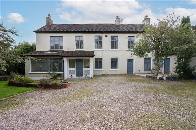 Enclosure in Ballintemple (ibane and Barryroe By.)Enclosure · 92 yd
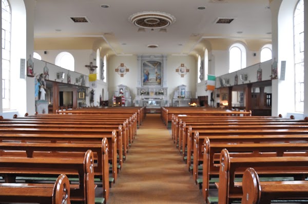 Ballintemple Church (in Ruins)Church · 112 yd
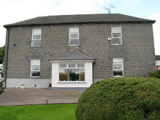 Arundel Millsmill manager's house · 718 yd
 Castle Arundel (Site of)Castle, unclassified · 994 yd
 Lios na gCon Ring FortArchaeological place · 1528 yd
 Clonakilty HarbourBay · 1.4 mi
 Stoney Beach RingBeach / strand · 1.5 mi
 Inchydoney & Coast ViewsViewpoint · 1.5 mi
 Castle (Site of)Castle, unclassified · 1.6 mi
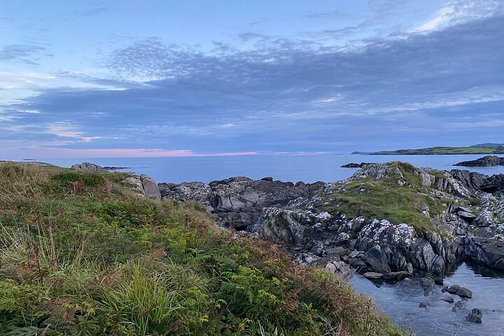 Interesting Cliffs RingCliff · 1.6 mi
 Coast ViewViewpoint · 1.6 mi
 West Cork Model Railway VillageHeritage attraction · 1.8 mi