What is recorded here
No visible gap remains where the entrance stood. People built a defensible home on the crest of a NE-facing slope in County Meath, shaped the earth into a broad D, and left the flat SE edge exposed to whatever came across the land. They may have watched that edge because it faced the open descent, while the curved bank hid them from the higher ground behind. The field and fortress share one line now, so the boundary between human ownership and ordinary terrain has blurred into grass.
Situated just off the crest of a NE-facing slope. This is a large D-shaped and grass-covered area (dims 50m NE-SW; 45m NW-SE) that slopes down to the NE. It is defined by an earthen bank (at SW: Wth of base 5m; int. H 1.1m; ext. H1m) with some bushes that is incorporated into a NNE-SSW field bank W-NW, and an outer fosse (at SE: Wth of top 8m; Wth of base 2; ext. D 0.7m) that is visible ESE-W. The straight side (L c. 35m) is at SE and there is a NW-SE field bank outside the bank SW-W. The original entrance is not identified.
The above description is derived from the published 'Archaeological Inventory of County Meath' (Dublin: Stationery Office, 1987). In certain instances the entries have been revised and updated in the light of recent research.
Revised by: Michael Moore
Date of revision: 31 October 2018
Amended: 15 December 2022
The monument record does not grant public access. Check the route and ask the landowner before entering private land.
- What survives
- Recorded monument
Places near here
 EnclosureEnclosure, large enclosure · 835 yd
 Font in Moat (fore By.)Font · 954 yd
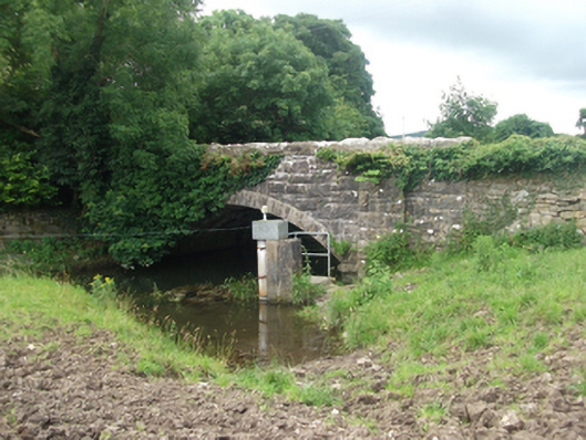 Ballinrink Bridgebridge · 1067 yd
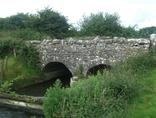 Ballinacree Bridgebridge · 1125 yd
 The MoatCastle, motte and bailey · 1.0 mi
 CastleCastle, unclassified · 1.0 mi
 European BeechEuropean Beech · 1.1 mi
 Bob's GroveForest · 1.8 mi
 Mullaghmeen Red WalkWalking route · 2.0 mi
 Mullaghmeen ForestPicnic place · 2.0 mi
 Mullaghmeen White WalkWalking route · 2.1 mi
 MullaghmeenMountain / peak · 2.1 mi