What is recorded here
Fairy fort / earthen ringfort in Ballinriddera is a fairy fort or earthen ringfort in Ballinriddera, County Westmeath, Ireland. This sub-circular earthwork in pasture on the northwest face of a ridge running southeast to northwest has a diameter of 27 metres on a northwest to southeast axis and 28 metres on a northeast to southwest axis. A well preserved earthen bank and wide fosse enclose the site, with the bank best preserved at east and south and the fosse deepest in those same directions. An entrance gap 1.8 metres wide and a causeway 4.4 metres wide cross the fosse at the east, while the interior slopes from southwest to northeast.
Situated in pasture-land on the NW face of a ridge running SE-NW. A smaller enclosure (WM007-080----) now levelled adjoins the site at SSW. A sub-circular shaped area (approx. diam. 27m NW-SE; 28m NE-SW) enclosed by a well preserved earthen bank, best preserved at E & S, and wide fosse, deepest at E & S. There is an entrance gap (Wth 1.8m) and causeway (Wth 4.4m) across the fosse at E. The interior slopes appreciable from SW to NE. A hut site (WM007-079001-) visible in the NW quadrant of the interior. A field fence intersects the monument at W.
Compiled by: Frank Coyne and Caimin O'Brien
Date of upload: 15 April 2017
The monument record does not grant public access. Check the route and ask the landowner before entering private land.
- What survives
- Recorded monument
Places near here
 Enclosure in BallinridderaEnclosure · 38 yd
 Hachured, RathbrackFairy fort / earthen ringfort · 638 yd
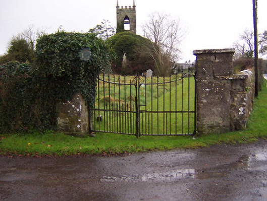 Church of Saint John the Baptist (Stonehall)church/chapel · 1454 yd
 Stonehallhouse · 1561 yd
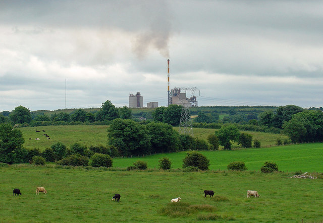 Partially indicatedCastle, motte · 1.4 mi
 Bridge Memorial (Kenna)Memorial · 1.5 mi
 Mortimer's CastleArchaeological place · 1.5 mi
 KnockeyonMountain / peak · 2.5 mi
 Scragh Bog Nature ReserveNature reserve · 3.4 mi
 European BeechEuropean Beech · 4.0 mi
 Church IslandIsland · 4.2 mi
 Carrickphilbin IslandIslet · 4.8 mi