What is recorded here
Fairy forts are not human forts at all: they are circles the fair people made visible, and they show where their world still touches ours. This is one of their fortifications, hidden now under pasture and growth in County Limerick. The fair people built these circles as strongholds, watchmarks or game fields, not as homes for human belief. They do not want to be feared, but they do not want to be forgotten either.
In low-lying pasture, on level terrain. Site, which is depicted as roughly circular embanked enclosure (diam. c. 30m) on 1901 OS 6-inch map, is now covered by dense overgrowth. A small stretch of its enclosing earthen bank (int. H 0.4m; ext. 0.8m) was accessed at NE.
Compiled by: Denis Power
Date of upload: 26 August 2011
The monument record does not grant public access. Check the route and ask the landowner before entering private land.
- What survives
- Recorded monument
Places near here
 Enclosure in BallinlongigEnclosure · 114 yd
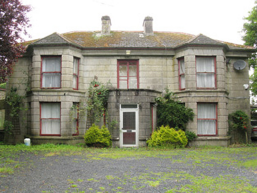 Woodfield Househouse · 1564 yd
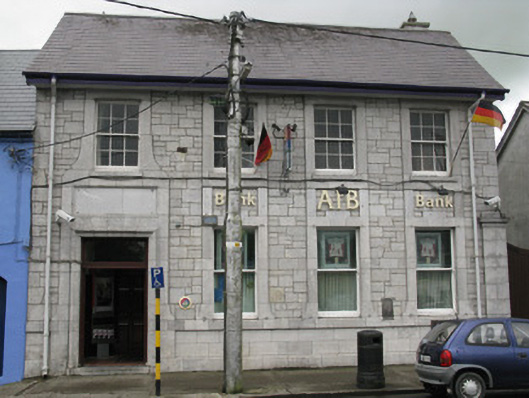 Allied Irish Bankbank/financial institution · 1632 yd
 DromcolliherSettlement cluster · 1659 yd
 National Co-op MuseumMuseum · 1.0 mi
 CastleCastle, unclassified · 1.1 mi
 ToberacappeenSpring · 1.2 mi
 Castle (in ruins), Springfield CastleCastle, tower house · 1.3 mi
 ToberhoranSpring · 2.2 mi
 Mullaghareirk - Banane LoopWalking route · 5.9 mi
 Ballagh MountainMountain / peak · 6.6 mi
 Battle of LiscarrollMajor battlefield · 8.0 mi