What is recorded here
Fairy fort / earthen ringfort in Ballinlongig stands in gently undulating pasture, a circular area forty-five and a half metres across. Cattle still break through the earthen bank in numerous places, entering the interior as if the fort were never closed to them. The road and field boundary cut across parts of the ring, yet the remaining bank and fosse still mark a shape older than the pasture itself.
In gently undulating pasture. Circular area (45.5m E-W) enclosed by earthen bank (int. H 0.9m; ext. H 1.65m), with external fosse (D 0.35m; Wth 1.4m) WSW->ENE and ESE->SSE, otherwise enclosing element truncated ENE->ESE by road, and SSE->WSW by field boundary which also truncates part of interior. Bank broken in numerous places by cattle accessing interior. Enclosing element and margins of interior partially covered by overgrowth, otherwise interior under pasture. Interior split by scarp (H 0.3m; Wth 1m), facing W on N-S axis, mid-way between centre and W edge.
Compiled by: Denis Power
Date of upload: 26 August 2011
The monument record does not grant public access. Check the route and ask the landowner before entering private land.
- What survives
- Recorded monument
Places near here
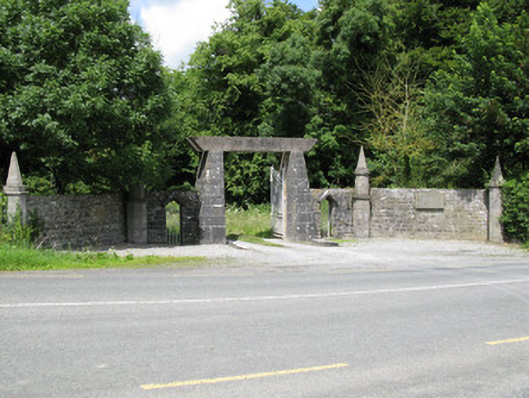 Springfield Castledemesne walls/gates/railings · 402 yd
 Enclosure in BallinlongigEnclosure · 1205 yd
 Church (in ruins)Church · 1351 yd
 Burial GroundGraveyard · 1363 yd
 Castle (in ruins), Springfield CastleCastle, tower house · 1430 yd
 National Co-op MuseumMuseum · 1.5 mi
 CastleCastle, unclassified · 1.9 mi
 ToberacappeenSpring · 1.9 mi
 ToberhoranSpring · 2.5 mi
 Mullaghareirk - Banane LoopWalking route · 5.2 mi
 Ballagh MountainMountain / peak · 6.1 mi
 Rock HillMountain / peak · 7.8 mi