What is recorded here
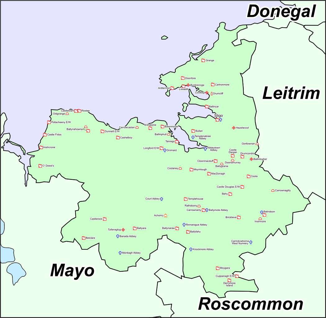
Fairy fort / earthen ringfort in Ballinlig (tireragh By.) is a fairy fort or earthen ringfort in Ballinlig (tireragh By.), County Sligo, Ireland. The circular enclosure measured about thirty metres across and occupied a low rise on a peninsula jutting into the western side of Ballisodare Bay. Surveyors marked the site on the 1837 Ordnance Survey map, but leveling removed the western half and buried the eastern scarp under field clearance debris.
Depicted as a circular enclosure on the 1837 edition of the OS 6-inch map. Situated on a low rise on a penninsula jutting into the W side of Ballisodare Bay. The site has been levelled. Remains comprise a scarp extending from NE-E-S which is largely obscured by field clearance debris. There are no extant remains surviving of the W half of the site. The enclosed area was c.30m in diameter.
Compiled by: Patrick F. O'Donovan
Date of upload: 19 January 2011
The monument record does not grant public access. Check the route and ask the landowner before entering private land.
- What survives
- Recorded monument
Places near here
 Enclosure in Ballinlig (tireragh By.)Enclosure · 254 yd
 Font in Ballinlig (tireragh By.)Font · 429 yd
 Lahanacappul IslandIslet · 465 yd
 Ballinlig PointHeadland · 832 yd
 CastleCastle, ringwork · 1031 yd
 Portavaud PointHeadland · 1112 yd
 Giant's GraveArchaeological place · 1578 yd
 Carrowgarry Househouse · 1725 yd
 Bawn in Tanrego WestBawn · 1743 yd
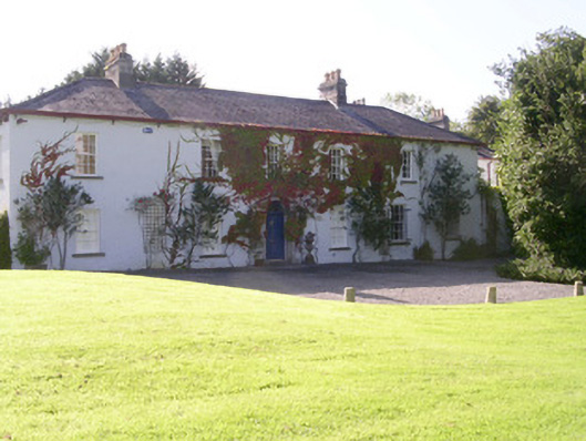 Tanrego Househouse · 1.1 mi
 CulleenamoreBeach / strand · 1.6 mi
 European ashEuropean ash · 2.2 mi