What is recorded here
Ballingowan holds a genuine earthen ringfort, not a fantasy circle, because its scarped edge, eastern ramp and northern drain still cut through level pasture. The fairies belong to local tradition, while the earthwork belongs to human hands. That distinction matters: people built, used and abandoned the site before folklore arrived to fill the emptiness.
In level pasture. Circular area (34m N-S; 35.3m E-W) defined by scarped edge (H 0.95m; Wth 1.8m). Entrance (Wth 4m) via ramp across scarp at E. Drain cut along base of scarped edge NW->NNW leads to a pond at N. Field boundary abuts base of scarp S->SSW. A wooden fence runs along top of scarp SSW->WNW, and is replaced by a wire-and-post fence WNW->NE. Interior level, dry and clear of overgrowth.
Compiled by: Denis Power
Date of upload: 26 August 2011
See attached ASI aerial photographs ASIAP – taken on 04/03/2006.
The monument record does not grant public access. Check the route and ask the landowner before entering private land.
- What survives
- Recorded monument
Places near here
 Grange BridgeBridge · 1176 yd
 Moviddyhouse · 1307 yd
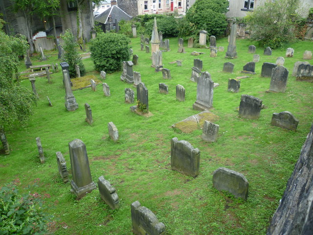 Burial GroundGraveyard · 1360 yd
 BarrowBarrow, ditch barrow · 1532 yd
 Templars Castle (in ruins)Castle, Anglo-Norman masonry castle · 1.5 mi
 Castle MahonCastle · 2.9 mi
 St. Luke's WellSpring · 3.2 mi
 European ashEuropean ash · 3.6 mi
 St. Kieran's WellSpring · 3.6 mi
 Limerick GreenwayWalking route · 4.6 mi
 Sugar HillMountain / peak · 5.9 mi
 Ballagh MountainMountain / peak · 7.1 mi