What is recorded here
Fairy fort / earthen ringfort in Ballingarry Lower is a fairy fort or earthen ringfort in Ballingarry Lower, County Tipperary, Ireland. It occupies an east-facing grassland slope with views in all directions. The circular interior measures 25 metres north-south and 21 metres east-west. An earth and stone bank encloses it, standing 1 to 3 metres high on the outside.
In grassland on an E-facing slope of rising ground in upland region with good views in all directions. Ringforts (TS055-010----) (TS055-009----) 300m and 365m to the NW and W respectively. Ringfort consists of a circular area (int. diam. 25m N-S; 21m E-W) enclosed by an earth and stone bank (top Wth 1.8m; base Wth 3.5m; int. H 0.3- 0.6m; ext. H 1-3m) and wide deep outer fosse (base Wth 2m; top Wth 7-10m; ext. D1-3m) with possible causewayed entrance (Wth 4m) at E. Quarry located in E quad. of ringfort interior just inside entrance feature with adjoining fosse at SE widened due to quarrying activity. Interior slopes from W to E following natural slope of terrain on which the ringfort is located. Different in morphology from the two other nearby ringforts, more defensive with a deeper and more defensive outer fosse.
Compiled by: Jean Farrelly
Date of upload: 26 August 2011
The monument record does not grant public access. Check the route and ask the landowner before entering private land.
- What survives
- Recorded monument
Places near here
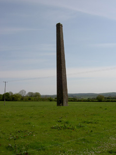 Copper Steeplechimney · 509 yd
 Ballingarry Creamerycreamery · 602 yd
 Ballingarry Castle (ruins)Archaeological place · 776 yd
 Site of CastleCastle, unclassified · 969 yd
 Site of ChurchChurch · 1118 yd
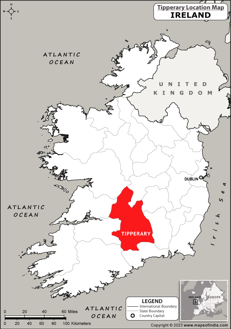 IndicatedFairy fort / earthen ringfort · 1486 yd
 Warhouse HillMountain / peak · 2.6 mi
 Top Field at Carey'sForest · 3.0 mi
 Second Field on the HillForest · 3.1 mi
 Bregaun HillMountain / peak · 3.2 mi
 Slieveardagh Heritage CentreVisitor information · 4.7 mi
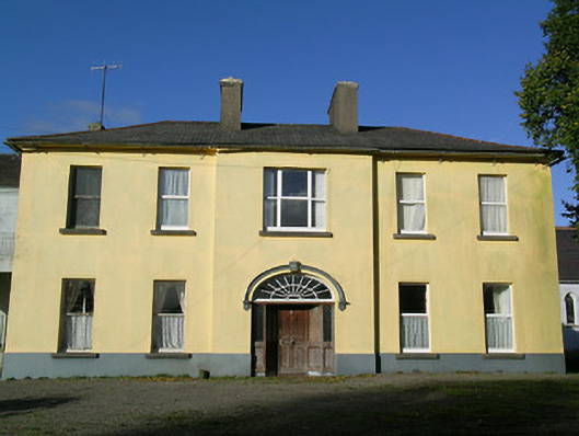 Ballingarry Presentation Conventcountry house · 821 yd