What is recorded here
No fairy ever touched Ballingaddy North. The 1840 survey named it a moat in the glebe, Westropp measured its steep terraced ring in 1916, and cultivation ridges still cross the grass where people worked the land. The fairies belong to the fortune-telling game, not the place.
In pasture on glebe lands, 50m N of watercourse that forms townland boundary with Flemingstown and 460m W of Flemingstown House. Ballingaddy church (LI048-026001-) and graveyard (LI048-026002- ) lies 250m to the NW. Depicted on the 1840 ed. OSi 6-inch map as an oval shaped platform defined by a scarp, intersected at NE, E and W by post-1700 field boundaries. Shown on the 1897 ed. OSi 25-inch map as a sub-circular shaped platform (dims. c. 69m NW-SE; 60m NE-SW) defined by a bank incorporated into a post-1700 field boundary running N-S from SW-W-NW reduced to a scarp elsehwhere. Described by Westropp (1916-17, 476) as consisting of ‘a steep-sided fort, terraced up 10 feet [3m] over the field to the south and south-east, but only 5 feet [1.5m] to north. It is 123 feet [37.5] across the ring, which was 12 feet thick [3.6m]. The stone facing is entirely removed, and there is no trace of a fosse.’ In 1840 the Ordnance Survey recorded this monument as ‘Ballingaddy Moat in the Glebe of Ballingaddy N.’, one of ‘a few ancient forts’ in the townland’ (OSNB Abbeyfeale to Bruree, 146, 156). Monument visible as a large circular-shaped area enclosed by a partially tree-lined bank, on Digital Globe orthoimage taken between 2005-12 and on Google Earth orthoimages. Cultivation ridges are visible running across interior of enclosure on oblique aerial photograph (ASIAP) taken 05/01/2003.
See attached oblique aerial photograph (ASIAP) taken 05/01/2003 and Google Earth orthoimages.
Compiled by: Fiona Rooney
Date of upload: 12 August 2021
This remains an important historical record, but the official description says the monument is no longer visible or has been destroyed. The monument record does not grant public access. Check the route and ask the landowner before entering private land.
- What survives
- No visible remains or recorded as destroyed
Places near here
 Grave YardGraveyard · 322 yd
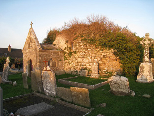
 Ballingaddy Church (in ruins)Church · 343 yd
 mausoleummausoleum · 357 yd
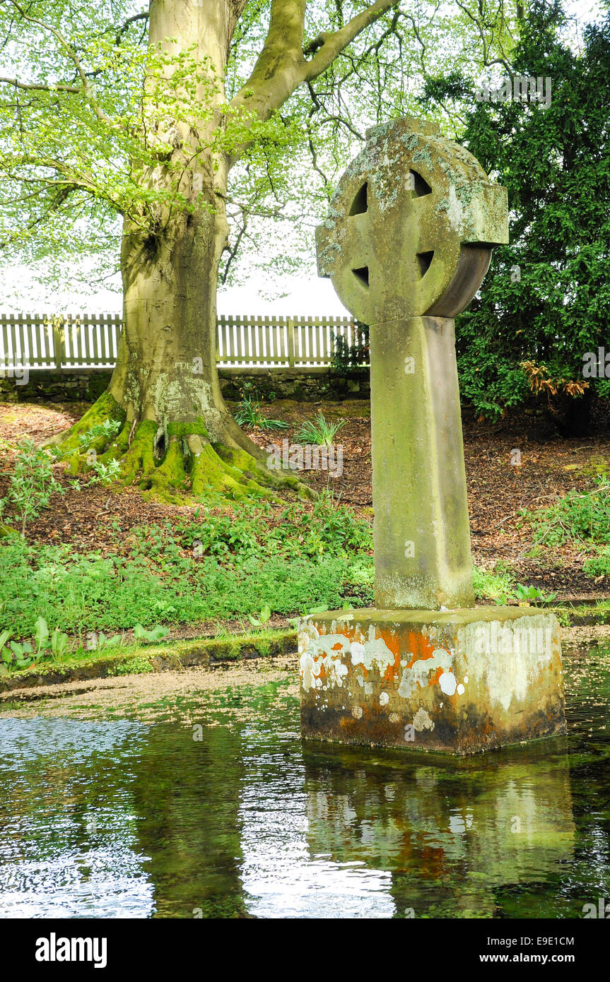 Ladys WellHoly well · 786 yd
 St Bridget's WellSpring · 1.1 mi
 Site of Millmount Castle, Castle FieldCastle, unclassified · 1.4 mi
 Site of Castle CooteBawn · 2.0 mi
 King John's CastleCastle · 2.1 mi
 Kilmallock AbbeyHeritage attraction · 2.1 mi
 Ballyhoura tourist informationVisitor information · 3.3 mi
 Lady's WellSpring · 3.5 mi
 Caher HillMountain / peak · 4.0 mi