What is recorded here
In Ballingaddy East, a steep earthen bank and deep ditch form a small circular fortress overlooking marsh and scrub. The entrance faces northwest, inviting entry toward open pasture rather than hiding behind stone walls. People may have built the rath to control local movement or protect herds from the higher ground east and south. Its plain interior and heavy earthworks suggest a practical residence where ordinary life depended on vigilance.
In meadow in hilly pasture surrounded by marsh and scrub, with clear views to the N and W, overlooked by higher ground to the E and S. Hachured on the 1840 and 1916 OS 6-inch maps. A subcircular rath (23m N-S; 21.75m E-W) defined by a steep-sided round-topped bank (int. H 0.6m; ext. H 1.7-2.1m; Wth 5m), a fosse (Wth 2.5m; ext. D 1.9m) and an outer bank (Wth 6m; ext. H 0.8m). The fosse and outer bank are only present around the N of the monument extending from NW to NE. Stone within the fabric of both banks suggests that they were originally revetted. An original entrance gap is present at the NW (Wth at base 3.4m). The interior is flat and featureless.
Compiled by: Mary Tunney and Eve Campbell
Date of upload: 15 August 2023
A subcircular earthen ringfort in Ballingaddy East, likely dating to the early medieval period, measuring approximately 23m by 21.75m. It is locally known as a fairy fort and appears on 19th-century Ordnance Survey maps, with folklore suggesting it was once inhabited by supernatural beings.
The monument record does not grant public access. Check the route and ask the landowner before entering private land.
- What survives
- Recorded monument
Places near here
 Enclosure in BallydeelyEnclosure · 738 yd
 Enclosure in CaheraderryEnclosure · 1069 yd
 Site of Tullamore CastleCastle, unclassified · 1312 yd
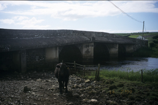 New Bridgebridge · 1503 yd
 Kilmanahn GraveyardRuins · 1.3 mi
 Church in KillaspuglonaneChurch · 1.3 mi
 Famine MemorialMemorial · 1.6 mi
 Dough CastleRuins · 1.8 mi
 Lahinch BeachBeach / strand · 2.4 mi
 John P. Holland CentreMuseum · 3.7 mi
 TullygarvanWood · 3.7 mi
 Doolin Cliff WalkWalking route · 4.4 mi