What is recorded here
Fairy fort / earthen ringfort in Ballinenagh is a fairy fort or earthen ringfort in Ballinenagh, County Tipperary, Ireland. It occupies level valley ground and preserves a possible triple circuit only at the northeast, where a second bank and matching ditch join the main structure. Elsewhere the circular area measures 25.4 metres north to south and 26.7 metres east to west, bounded by a worn bank and wide flat-bottomed ditch. The outer features may represent a modern field boundary around a simpler double circuit rather than an ancient third wall.
Situated on level ground in a valley. A possible trivallate ringfort which survives intact at NE only, elsewhere the site consists of a circular area (diam. 25.4m N-S; 26.7m E-W) defined by a much denuded bank (Wth 4.7m; int. H 0.72m; ext. H 0.7m), reduced to a scarp in places and a wide flat-bottomed fosse (Wth 5.3m; D 0.95). At NE there is a second bank (Wth 6m; ext. H 0.81m) with a corresponding fosse (Wth 3.5m; D 1.39m) and external bank (Wth 5.5m; ext. H 0.36m). The outer enclosing elements are indicated as a field boundary on the current edition OS 6-inch map which casts some doubt on the antiquity of the outer enclosing elements. This may have been a bivallate site which was enclosed by a modern field boundary giving the impression of a trivallate site. Depicted on the first edition OS 6-inch map as a univallate ringfort.
The above description is derived from 'The Archaeological Inventory of County Tipperary. Vol. 1 - North Tipperary' compiled by Jean Farrelly and Caimin O'Brien (Dublin: Stationery Office, 2002). In certain instances the entries have been revised and updated in the light of recent research.
Date of upload/revision: 22 September 2008
The monument record does not grant public access. Check the route and ask the landowner before entering private land.
- What survives
- Recorded monument
Places near here
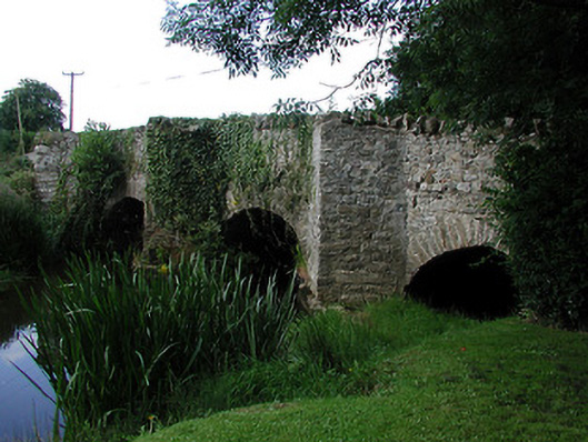 bridgebridge · 1390 yd
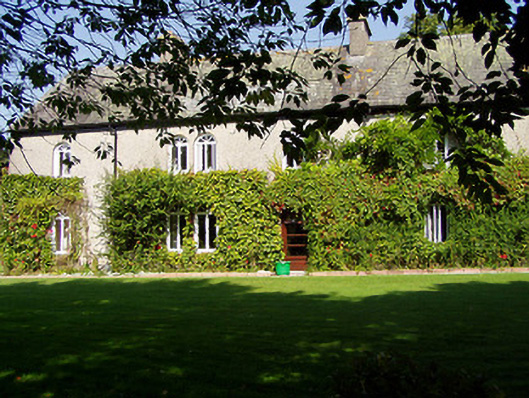 Ballynaclogh Househouse · 1448 yd
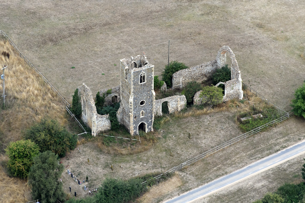 Settlement desertedSettlement deserted, medieval · 1454 yd
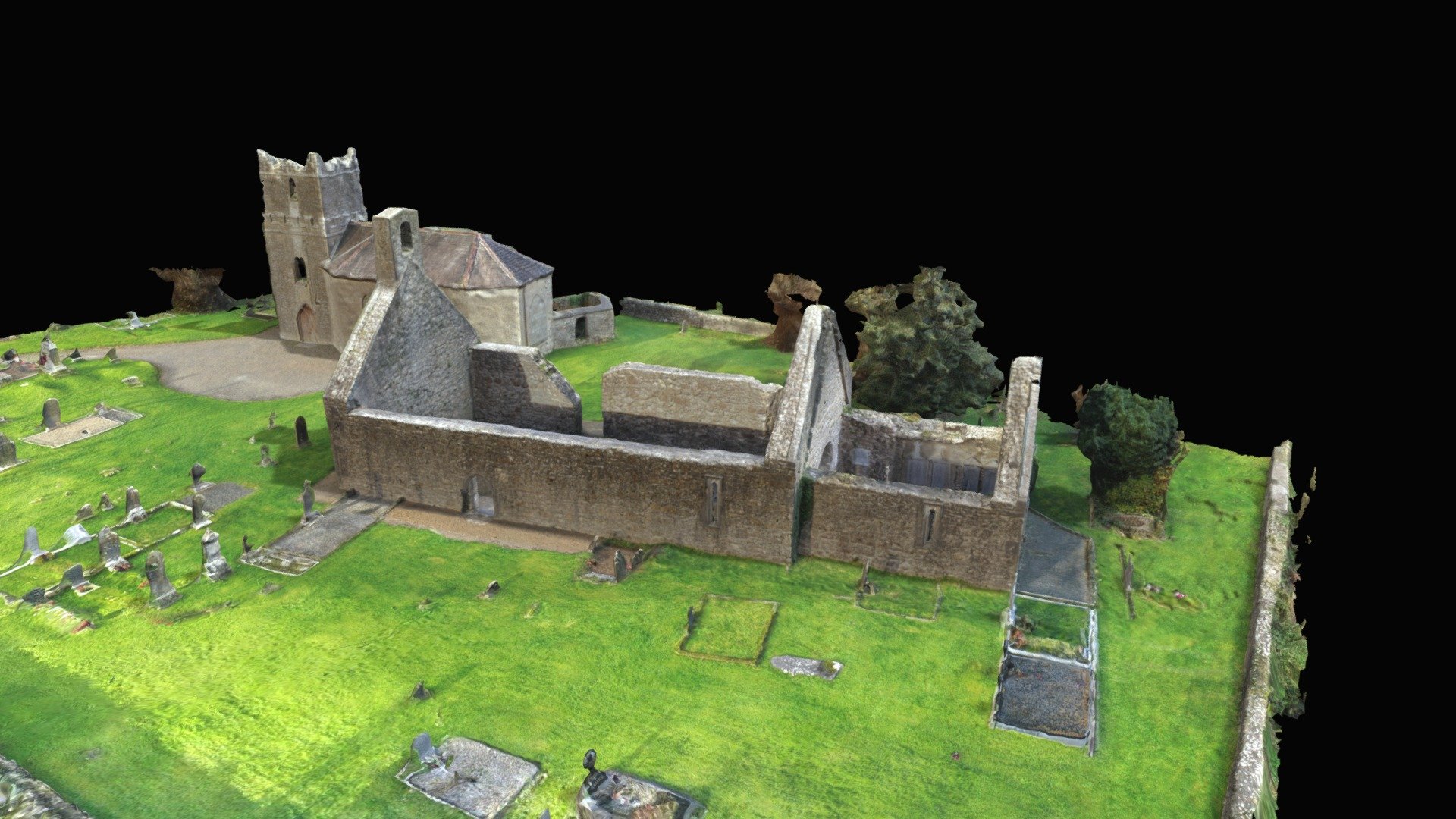 CastleCastle, Anglo-Norman masonry castle · 1482 yd
 Monaquill Ho.Castle, unclassified · 1704 yd
 Field system in BallynacloghField system · 1.0 mi
 Gibbet HillMountain / peak · 1.5 mi
 Sweet ChestnutSweet Chestnut · 2.7 mi
 Ballincurra HillMountain / peak · 3.0 mi
 Our Lady Assumed into HeavenMemorial · 3.6 mi
 The MinerMemorial · 3.6 mi
 Killavalla WoodForest · 3.6 mi