What is recorded here
Fairy fort / earthen ringfort in Ballincurry (Crohane parish) is a fairy fort or earthen ringfort in Ballincurry (Crohane parish), County Tipperary, Ireland. The much degraded site occupies a circular grassland area measuring 30 metres north-south and 38 metres east-west on an east-facing slope. A low bank, mostly reduced to a 0.3-metre scarp, surrounds the interior, while an outer ditch appears only from the south through the west to the north. The structure may have been a double-banked ringfort before agricultural changes altered its shape.
In grassland on an E-facing slope of rising ground in upland region with good views in all directions. Much degraded ringfort consisting of a circular area (int. diam 30m N-S; 38m E-W) defined by a low degraded bank (top Wth 2m; base Wth 4m; int. H 0.1m) mainly reduced to a scarp (H 0.3m) and outer fosse (base Wth 1.5m; top Wth 4m; ext. D 0.2m) visible from S through W to N only with possible suggestion of a second levelled bank visible at S only. The fosse has been intersected by a field boundary at E on a N-S axis. May originally have been a bivallate ringfort which has been degraded by agricultural improvements.
Compiled by: Jean Farrelly
Date of upload: 26 August 2011
The monument record does not grant public access. Check the route and ask the landowner before entering private land.
- What survives
- Recorded monument
Places near here
 IndicatedSettlement cluster · 1311 yd
 RathanaffrinFairy fort / earthen ringfort · 1418 yd
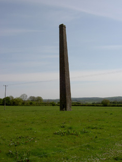 Copper Steeplechimney · 1.1 mi
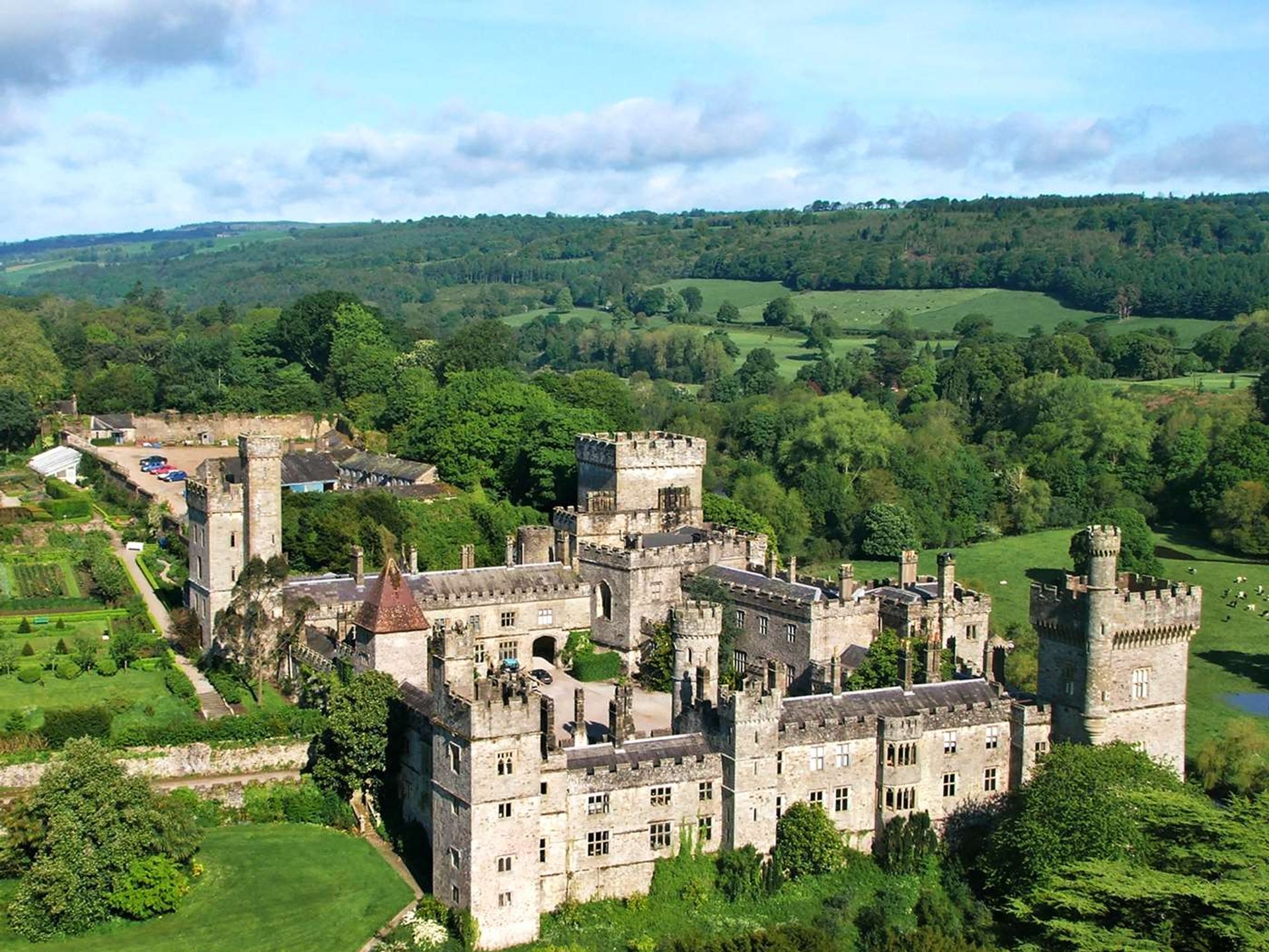 Site of Lisnamrock CastleCastle, unclassified · 1.3 mi
 RoadRoad, hollow-way · 1.4 mi
 Ballingarry Castle (ruins)Archaeological place · 1.6 mi
 Waterloo HillMountain / peak · 2.4 mi
 Eagle HillMountain / peak · 3.2 mi
 Slieveardagh Heritage CentreVisitor information · 3.3 mi
 Top Field at Carey'sForest · 4.2 mi
 Second Field on the HillForest · 4.3 mi
 Derrynaflan TrailHeritage attraction · 4.7 mi