What is recorded here
Fairy fort in Ballincourcey: a 36m earthen ring on a SW-facing pasture slope, with two narrow gaps and a shallow outer ditch. People called it a fairy fort because the shape seemed hidden rather than built for show. In human terms it may have been a small defended settlement, a boundary marker, or a place for ceremony on open farmland. The gaps face each other across the circle like an invitation, while the modern break admits doubt about what the original owners intended.
In pasture, on SW-facing slope. Circular area (36m N-S; 37m E-W) defined by earthen bank (H 2m), with shallow external fosse (max. D 0.5m). Gap in bank to NNE (Wth 0.8m) and SSW (Wth 1m), modern break to NW (Wth 1.2m). Slight scarp crosses W half of interior on E-W axis.
The above description is derived from the published 'Archaeological Inventory of County Cork. Volume 1: West Cork' (Dublin: Stationery Office, 1992). In certain instances the entries have been revised and updated in the light of recent research.
Date of upload/revision: 14 January 2009
The monument record does not grant public access. Check the route and ask the landowner before entering private land.
- What survives
- Recorded monument
Places near here
 Castle (Site of)Castle, unclassified · 696 yd
 Man-made underground passage in CloghgriffinMan-made underground passage · 1038 yd
 Killeen Burial Gd. (Children) (Disused)Burial ground · 1082 yd
 Templequinlan Church (in Ruins)Church · 1243 yd
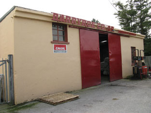 Barryroe Creamerycreamery · 1607 yd
 Michael Collins CentreMuseum · 1.5 mi
 Ballinoroher CastleCastle · 2.0 mi
 Argdeen Valley TrailVisitor information · 2.1 mi
 Timoleague Friary HistoryVisitor information · 2.1 mi
 Timoleague AbbeyHeritage attraction · 2.1 mi
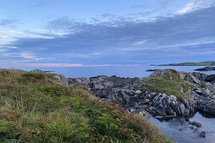 Interesting Cliffs RingCliff · 2.5 mi
 Stoney Beach RingBeach / strand · 2.8 mi