What is recorded here
Lissard, meaning high ringfort, is a rare two-banked rath in Ballinclemesig. It vanished from the living land twenty years ago when local people levelled the earth for fields, yet it still appears in aerial photographs because its shape is written deep inside the soil. The fort may have stood as a warning, a home, or a marker of rank before it became a fairy fort in memory. Its disappearance did not erase it; it only moved the boundary between the visible world and the hidden one.
Lissard/Lios Ard (high ringfort). This bivallate rath is situated one field S of KE014-032----. It is marked on the 1842 and 1916 OS maps and though the site has been levelled for 20 years it shows up on the Geological Survey of Ireland's aerial photographs.
The above description is derived from C. Toal, ‘North Kerry Archaeological Survey’. Dingle. Brandon in association with FAS Training and Employment Authority (1995), no. 451. In certain instances the entries have been revised and updated in the light of recent research.
Date of upload: 2 August 2013
The monument record does not grant public access. Check the route and ask the landowner before entering private land.
- What survives
- Recorded monument
Places near here
 Castle (in ruins)Castle, unclassified · 759 yd
 LosgortarughelArchaeological place · 1.4 mi
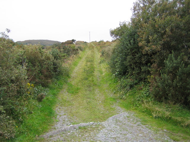 Man-made underground passage in CleanderryMan-made underground passage · 1.5 mi
 CastleCastle, unclassified · 1.7 mi
 Saint Mary's Catholic Churchchurch/chapel · 1.7 mi
 Our Lady's Holy WellSpring · 2.2 mi
 Church in Kilcooly NorthChurch · 2.3 mi
 Inshaboy PointHeadland · 2.9 mi
 Pierce's IslandIslet · 3.7 mi
 Maulin MountainMountain / peak · 4.2 mi
 Triskbeg MountainMountain / peak · 4.9 mi
 Ardfert FriaryVisitor information · 5.1 mi