What is recorded here
No amount of digging will find that circular fort now because the land itself forgot it. It appeared on the 1842 map, vanished from later drawings, and dropped out of human memory without warning. The fairies did not build a home there; they took back a shape people had measured and refused to let go.
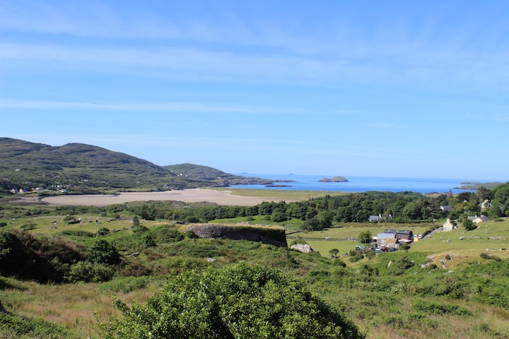
Situated in the bottom left-hand corner of a field and just W of the next site, this circular enclosure is marked on the 1842 OS map, but not on the later edition. No surface trace survives today.
The above description is derived from C. Toal, ‘North Kerry Archaeological Survey’. Dingle. Brandon in association with FAS Training and Employment Authority (1995), no. 446. In certain instances the entries have been revised and updated in the light of recent research.
Date of upload: 2 August 2013
The monument record does not grant public access. Check the route and ask the landowner before entering private land.
- What survives
- Recorded monument
Places near here
 LosgortarughelArchaeological place · 1500 yd
 Castle (in ruins)Castle, unclassified · 1742 yd
 PurtaheenHoly well · 1.1 mi
 Saint Mary's Catholic Churchchurch/chapel · 1.1 mi
 Our Lady's Holy WellSpring · 1.7 mi
 CastleCastle, unclassified · 1.8 mi
 Ballyheige Castlecountry house · 2.2 mi
 Inshaboy PointHeadland · 2.9 mi
 Maulin MountainMountain / peak · 3.6 mi
 Pierce's IslandIslet · 3.9 mi
 Triskbeg MountainMountain / peak · 4.2 mi
 Ardfert FriaryVisitor information · 5.2 mi