What is recorded here
Fairy fort / earthen ringfort in Ballincar is a fairy fort or earthen ringfort in Ballincar, County Sligo, Ireland. The rath occupies undulating pasture on the north-west edge of a housing estate and appears as a circular enclosure on every edition of the OS 6-inch map, including the 1940 version named Tumulus. A 2004 inspection recorded a raised oval area measuring 30.7 metres north-south and 24.4 metres east-west, bounded by a steep scarp reaching 4.7 metres high and an external fosse 3.4 metres wide. A causewayed entrance 3.7 metres wide opens at the north, while a possible house site remains within the interior.
In undulating pasture, on NW edge of a housing estate. Depicted as a circular enclosure on all editions of the OS 6-inch map. On the 1940 edition it is named 'Tumulus'. Inspected in 2004, this rath comprises a raised oval area (30.7m N-S; 24.4m E-W) defined on all sides by a steep scarp (max. H at E 4.7m) and an external fosse (Wth 3.4m; ext. D 0.83m), with causewayed entrance (Wth 3.7m) at N. Within the interior is a possible house site (SL014-006003-).
Compiled by: Patrick F. O'Donovan
Date of upload: 07 June 2012
The monument record does not grant public access. Check the route and ask the landowner before entering private land.
- What survives
- Recorded monument
Places near here
 Field system in BallincarField system · 157 yd
 Cultivation ridges in BallincarCultivation ridges · 319 yd
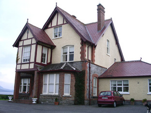 Rossavillehouse · 617 yd
 Flour millMill, unclassified · 672 yd
 Grave of WB YeatsHeritage attraction · 1.9 mi
 Drumcliff CemeteryGraveyard · 1.9 mi
 CastleCastle, unclassified · 2.0 mi
 Famine MemorialMonument · 2.1 mi
 Discover IrelandVisitor information · 2.2 mi
 European BeechEuropean Beech · 2.3 mi
 SligoVisitor information · 2.3 mi
 Model Niland GalleryHeritage attraction · 2.3 mi