What is recorded here
Situated on a low rise, in gently undulating pasture, with good views in all directions. Ringfort (WM024-140----) lies c. 15m to SE, on the grounds of Bishopstown House. Monument described in the 1970s as a circular-shaped area (dims. 26.7m N-S; 22.4m E-W) enclosed by a bank and external fosse. The bank is almost reduced to a scarp and is set on a high natural rise from S-W-N. There are very slight remains of a fosse visible at E. The original entrance is not visible. The interior has an E-facing slope and is planted with conifers with rock outcrop in the S quadrant. Field boundaries abut the monument at WNW, NW, NE, SE and S. There is a modern concrete structure built at the base of the bank at S.
Compiled by Alison McQueen, Vera Rahilly and Caimin O’Brien.
Date of upload: 27 August 2019
The monument record does not grant public access. Check the route and ask the landowner before entering private land.
- What survives
- Recorded monument
Places near here
 CaveMan-made underground passage · 920 yd
 Hut site in ClareHut site · 934 yd
 Bishopstown Castle in ruinsCastle, unclassified · 1448 yd
 Mosstown Houseoutbuilding · 1568 yd
 Bawn in ClareBawn · 1615 yd
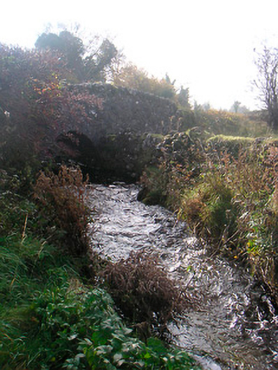 bridgebridge · 1686 yd
 Japanese pagoda treeJapanese pagoda tree · 1.3 mi
 Sam's ParkForest · 1.4 mi
 KnockastiaMountain / peak · 1.6 mi
 Charles BianconiMemorial · 6.0 mi
 Moate HillMountain / peak · 6.0 mi
 The Bob Traynor GalleryGallery · 6.1 mi